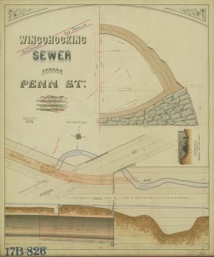
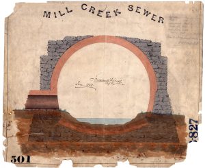
The pipe beneath the rocky path
Archival Storytelling: Water History Video 4

Map Lovers’ Monday: Circles of Destruction
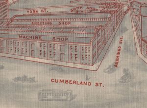
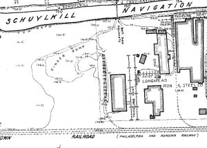
Buried Treasures No. 2: Williamson Bros. Company
Map Lovers’ Monday: Schuylkill River from Wissahickon Creek to Norristown, 1913

Sandy Run Watershed and the Holmesburg Water Works
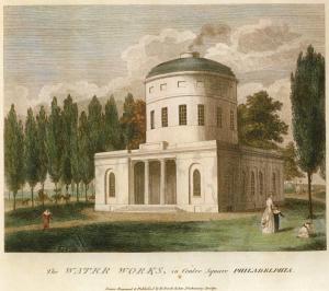
Birch’s Views of Philadelphia, 1800
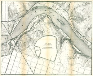
Fairmount Park topographical map, showing East Park Reservoir, 1872
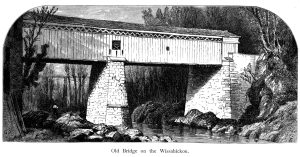
Thomas Mill Covered Bridge over Wissahickon Creek (Picturesque America)
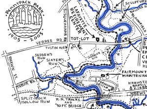
Plans and maps of the Pennypack Creek Watershed in Philadelphia