

Map Lovers’ Monday: The Ellet Map of Philadelphia County, 1843
Still on the Map: Poquessing Creek and its Tributaries
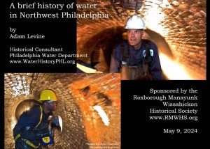
A Brief History of Water in Northwest Philadelphia

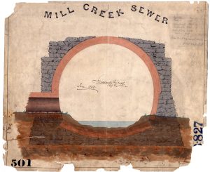
The pipe beneath the rocky path
Map Lovers’ Monday: Los Angeles, 100 years ago
Archival Storytelling: Water History Video 4
The Waffle: Water History Video 6
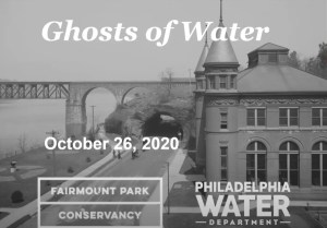
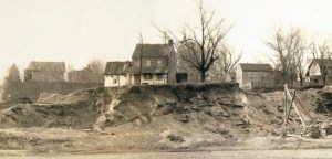
Ghosts of Water in Fairmount Park, Part 1, with Adam Levine
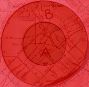
Map Lovers’ Monday: Circles of Destruction

Map Lovers’ Monday: Philadelphia Topography
