
Upcoming events with Adam Levine, WHPHL Webmaster
March 25, 2026
Tours, talks, an exhibit, and more.
Tours, talks, an exhibit, and more.

An evocative essay by Christopher Morley, about a section of Philadelphia that has been obliterated by landfilling and time (but particularly landfilling).

Learn more about the upcoming 200th birthday of Pennsylvania’s pioneering slackwater-canal system, with events all along the river in Spring 2025.
Added November 29, 2025: Drinking Water Quality reports from the 1960s to the present, listed chronologically. My ultimate goal is to eventually post a comprehensive list of all reports relating to Philadelphia’s water supply, from the late 18th century to the present, with links to PDFs of each. It may be a while before I […]
This post is where this website (under a couple of different names) began more than 20 years ago. The text is still the same, but I have added new maps and new high-resolution images that are worth checking out.

The so-called Ellet map of 1843 shows many Philadelphia streams that no longer exist.
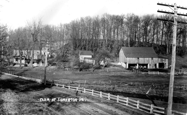
Information about one of the few intact stream systems remaining in Philadelphia.

Everything you’ve always wanted to know about the Fairmount Water Works, from Jane Mork Gibson and A. Leonard Pundt III
This old story taught even a grizzled water rat like me something new.
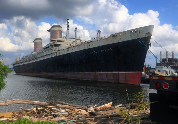
The iconic steamship, a hulking fixture in the South Philadelphia riverfront for decades, will soon begin the next phase of its life–this time under instead of on top of the water

One of the city’s most beautiful places has a secret that few people know about.
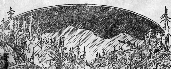
These maps of Los Angeles paint a poignant picture of the city, pre-wildfire.
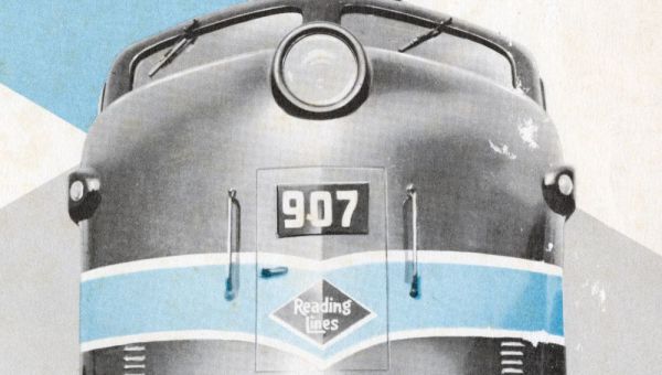
The Reading Railroad in its heyday, in 1958, the 125th anniversary of the road.
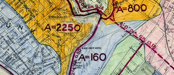
What are all those colors brightening up this otherwise mundane, monochrome map?

After zooming in on these photographs, you may want to slow down and linger in them for awhile.