Map Lovers’ Monday: The Ellet Map of Philadelphia County, 1843
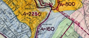
Still on the Map: Poquessing Creek and its Tributaries

The boats of the Schuylkill Navigation

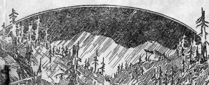
A Brief History of Water in Northwest Philadelphia
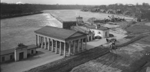
Fairmount Water Works: The Surprising History of an American Landmark
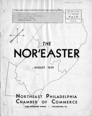
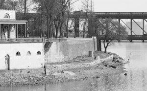
Two views on the water supply, 1939
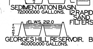
Philadelphia drinking water 90+ years ago

The pipe beneath the rocky path
Map Lovers’ Monday: Los Angeles, 100 years ago
Map Lovers’ Monday: Philadelphia in 1897, with color added