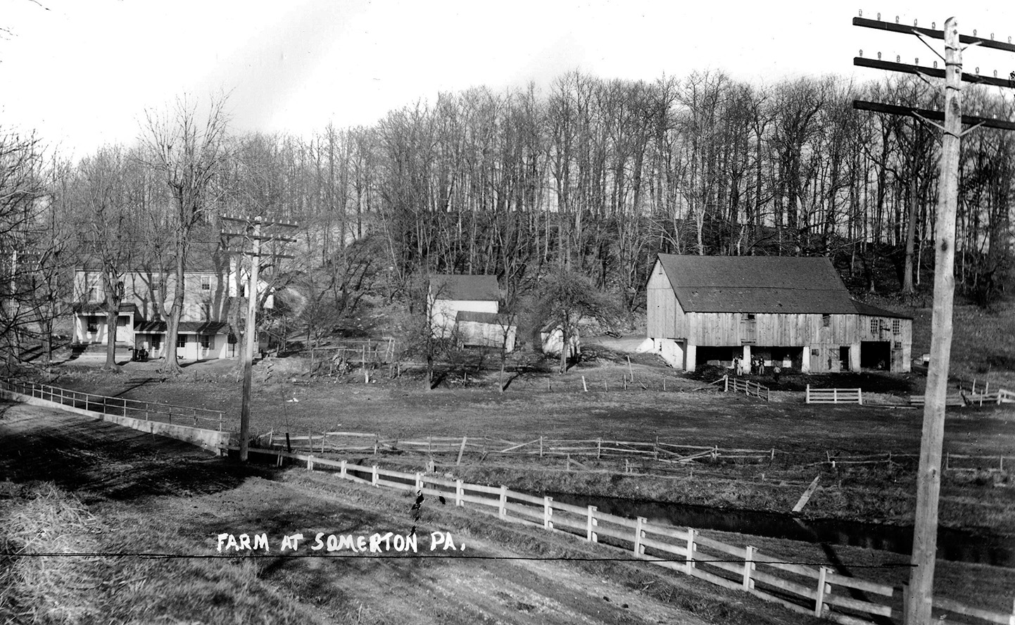
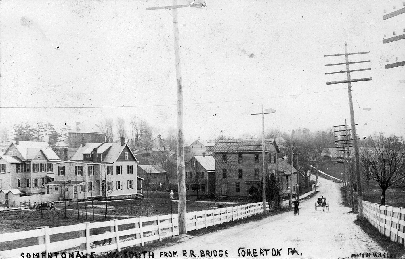
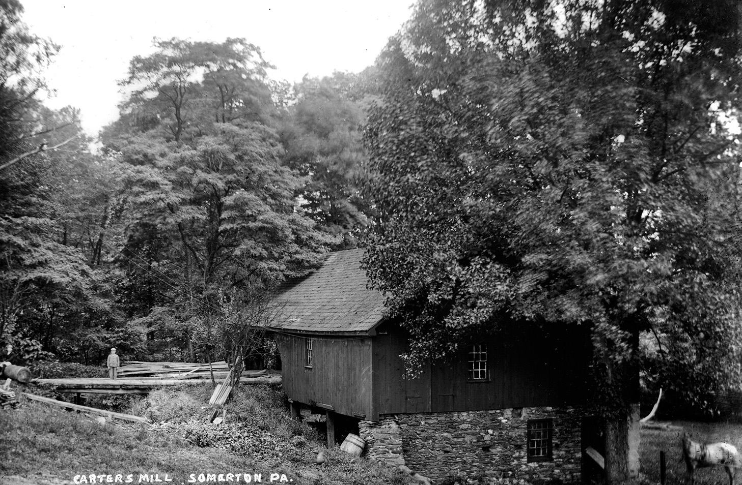
Historic resources related to this historic watershed
About twenty years ago the Philadelphia Water Department’s Office of Watersheds contracted for a River Conservation Plan for the Poquessing Creek Watershed, which covers the 21.5 square miles in Philadelphia, Bucks, and Montgomery counties that drain into the creek and its tributaries. As part of the public presentation of this plan, I created a illustrated talk on the history of the watershed, which I first presented in 2007.
Back then, this watershed interested me less than the so-called hidden watersheds of the city, including Wingohocking Creek and Mill Creek, where the city buried most of the streams in combined sewer pipes. But over time I also began to appreciate the “survivors,” which include Indian Creek in West Philadelphia, and most of the streams in Northeast Philadelphia that lie north of Pennypack Creek. The Poquessing watershed is worthy of notice simply because, as the title of this post says, its streams are still on the map, flowing freely.
By the time the watershed was developed in the 20th century, city planners had realized that surface streams can be an amenity to a community. Separate sewers were built to carry wastes from homes and businesses, and pipes carrying stormwater from the new neighborhoods were directed into the stream. About 125 acres of parkland were set aside along Poquessing Creek in the 20th century, which were finally connected when the Poquessing Creek Trail opened in 2014. Benjamin Rush State Park, covering about 275 acres, was created in 1975.
CLICK HERE to download a PDF of my 2010 presentation about the Poquessing. [LINK TO COME]
CLICK HERE to download a collection of newspaper articles about communities within the watershed. [LINK TO COME]
The history of the city’s hidden streams is amply covered in other posts on WaterHistoryPHL, which can be found by searching for the phrase “Creek to Sewer.”
THIS PAGE IS A WORK IN PROGRESS. If you see any mistakes, or want to add an image or a story, please contract me at the FEEDBACK link at the bottom of the page.