Fairmount Water Works: The Surprising History of an American Landmark
Two views on the water supply, 1939

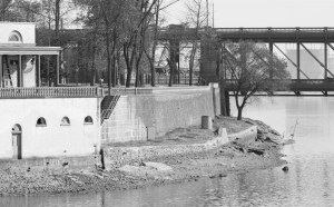
The pipe beneath the rocky path
Map Lovers’ Monday: Philadelphia in 1897, with color added
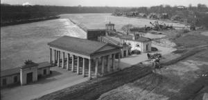
Fairmount Water Works in High Resolution
Archival Storytelling: Water History Video 4
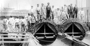
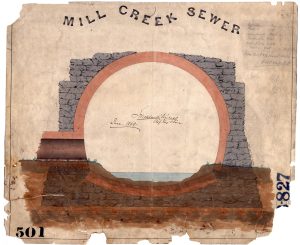
Creek to Sewer: Water History Video 1
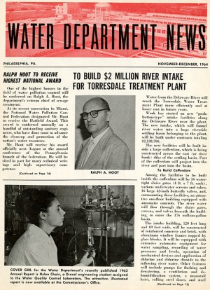
Water Department Newsletters, 1959-1997
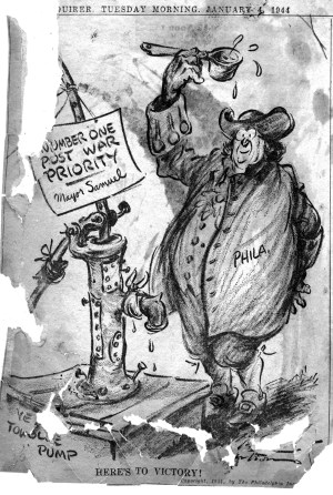
Water Bureau Newspaper Scrapbook, 1942-1952

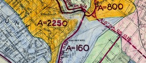
Map Lovers’ Monday: Circles of Destruction