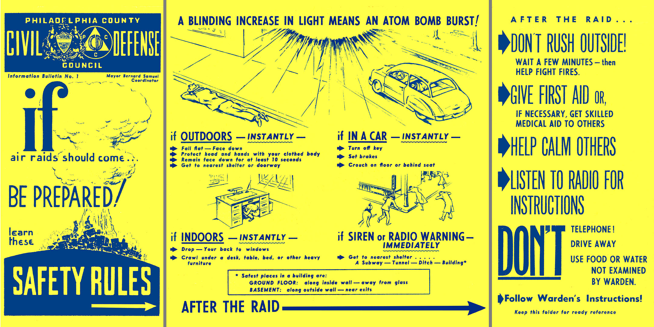
I am just a few years too young to have gone through the “duck-and-cover” drills that so many schoolchildren had to endure during the 1950s and 1960s, when a nuclear conflict with the Soviet Union was deemed a plausible possibility. The maps below are a remnant of that fearful time, and whether you believe that the threat was real or something ginned up by the government to get us to accept the massive military buildup that accompanied the Cold War, they are still chilling documents.
These maps are now in the collection of the City Archives of Philadelphia, but I found them in a collection of Civil Defense material at the City Plans Unit of the Streets Department, while searching for maps showing evidence of man-made changes in the city’s landscape. Fortunately, the drastic changes that the Civil Defense maps suggest have never come to pass.
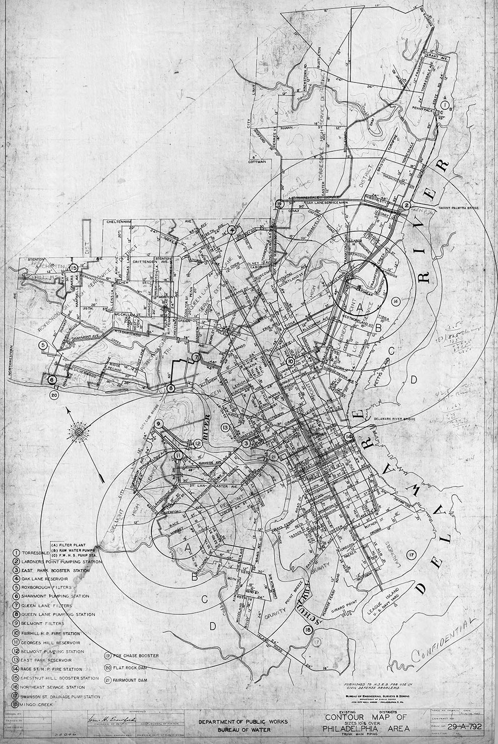
Many of the maps – like the two below, showing transportation routes and the city’s drinking water facilities – seem innocuous at first glance, until you notice the concentric circles overdrawn on them.

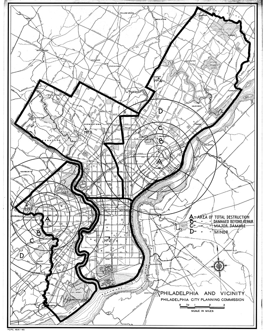
So, what are these circles? They are blast zones radiating out from Ground Zero, the center of an atomic bomb strike. The map below explains this, and quantifies the potential loss of life.

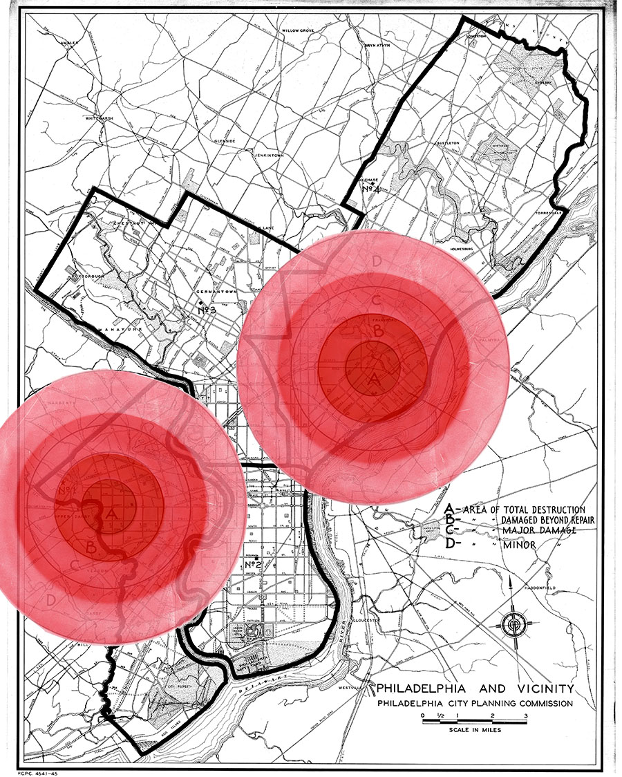
In the file drawer with these maps I also found a shaded disk of plastic, which was probably pinned over the circles on various plans during public meetings, to make the blast zones easily apparent from a distance. The central A zone, labeled “Area of Total Destruction,” is blood-red, with the colors fading to pink as the expected damage lessens. Below is a map with and without the disks overlaid.
Philadelphia and vicinity. Philadelphia City Planning Commission, 1945. Overdrawn ca. 1950 with two sets of concentric circles labeled A, B, C, and D, indicating levels of damage from a possible atomic bomb blast. Colored circles added digitally from scan of plastic disks accompanying the map. (City Archives of Philadelphia)
The map below shows the colored circles drawn onto a regional road map. Why there are not more circles in this wider area may have been a failure of imagination on the part of local Civil Defense officials, but I’d rather think it was an act of hopefulness. Two strikes would have been awful enough; more might have been too dreadful to contemplate.
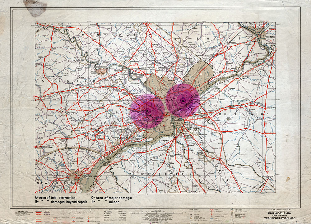
As YouTube user @maxkronader5225 wrote in the comments to the Duck and Cover video linked at the top of the page: “I am old enough to have done duck and cover drills. I once thought them preposterous, given the power of nuclear weapons. But then I realized duck and cover drills were never meant to save people a mile from ground zero; they were intended to save people 20 miles+ from ground zero.”
