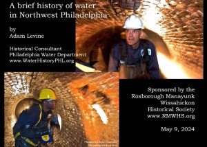

The pipe beneath the rocky path
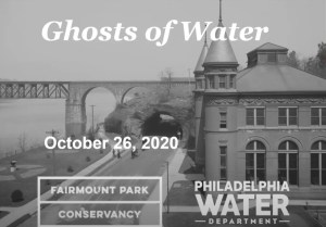
Ghosts of Water in Fairmount Park, Part 1, with Adam Levine
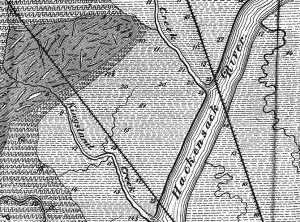
Map Lovers’ Monday: New Jersey 1869
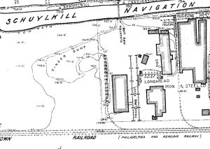
Map Lovers’ Monday: Schuylkill River from Wissahickon Creek to Norristown, 1913
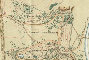
Map Lover’s Monday: Fairmount Park, 1869

The Discovery Center: The creative reuse of an abandoned city reservoir
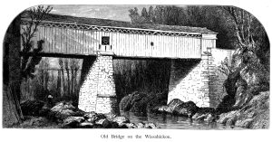
Thomas Mill Covered Bridge over Wissahickon Creek (Picturesque America)
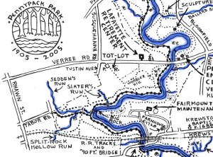
Plans and maps of the Pennypack Creek Watershed in Philadelphia

Mount Moriah Historic Cemetery and Arboretum

The ecology of Center City, Philadelphia (in case you didn’t know there was any)
