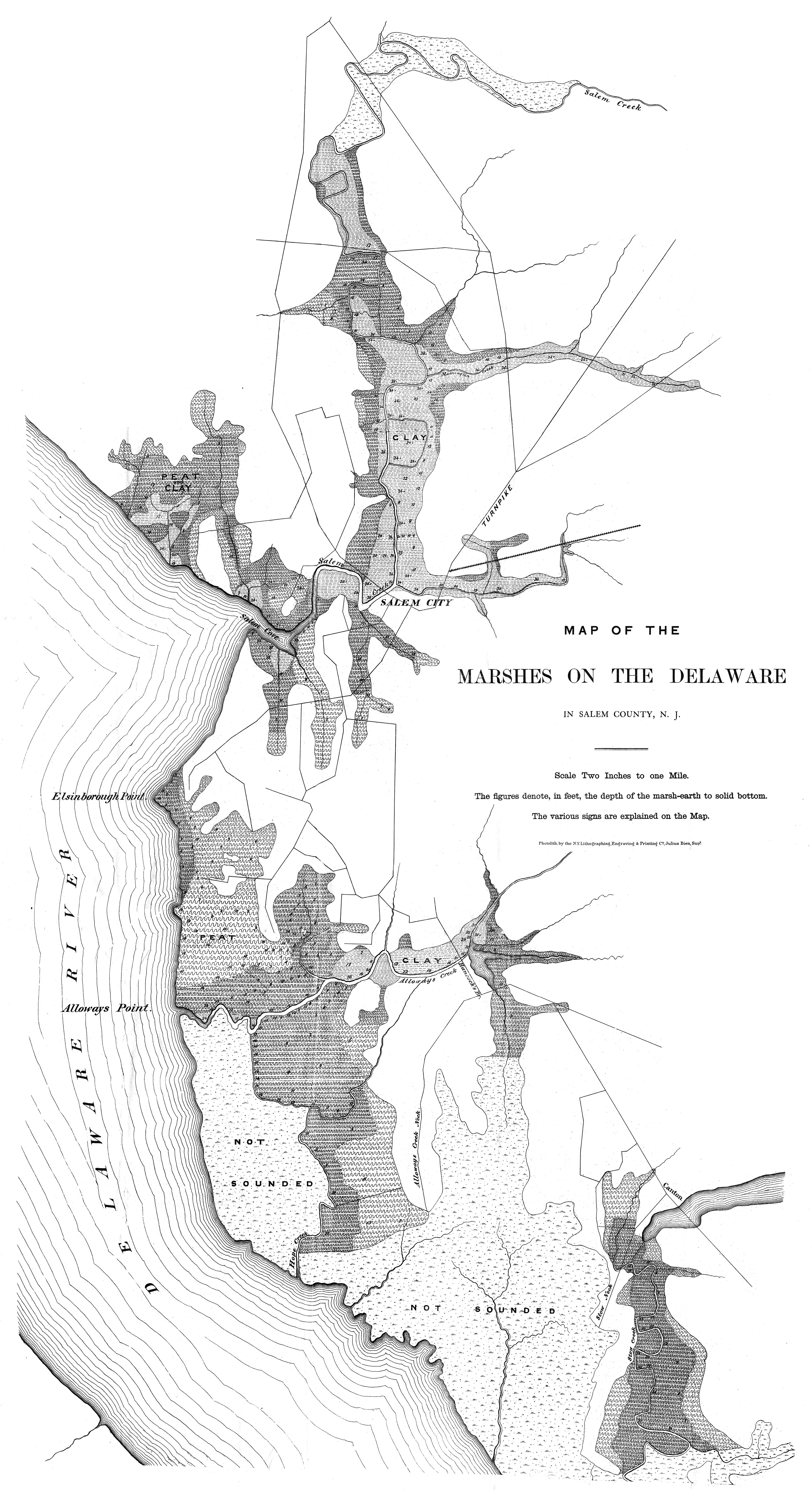
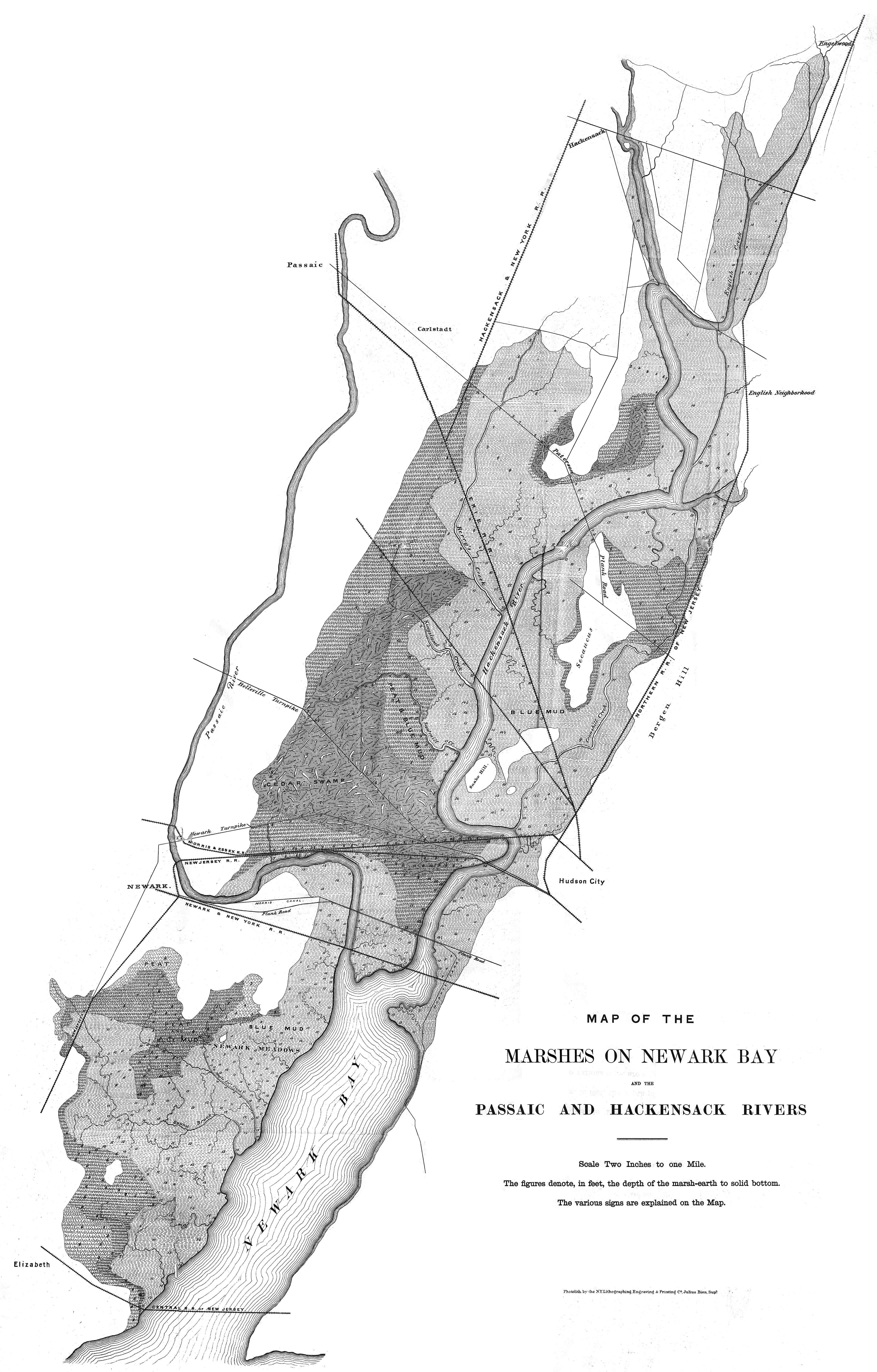
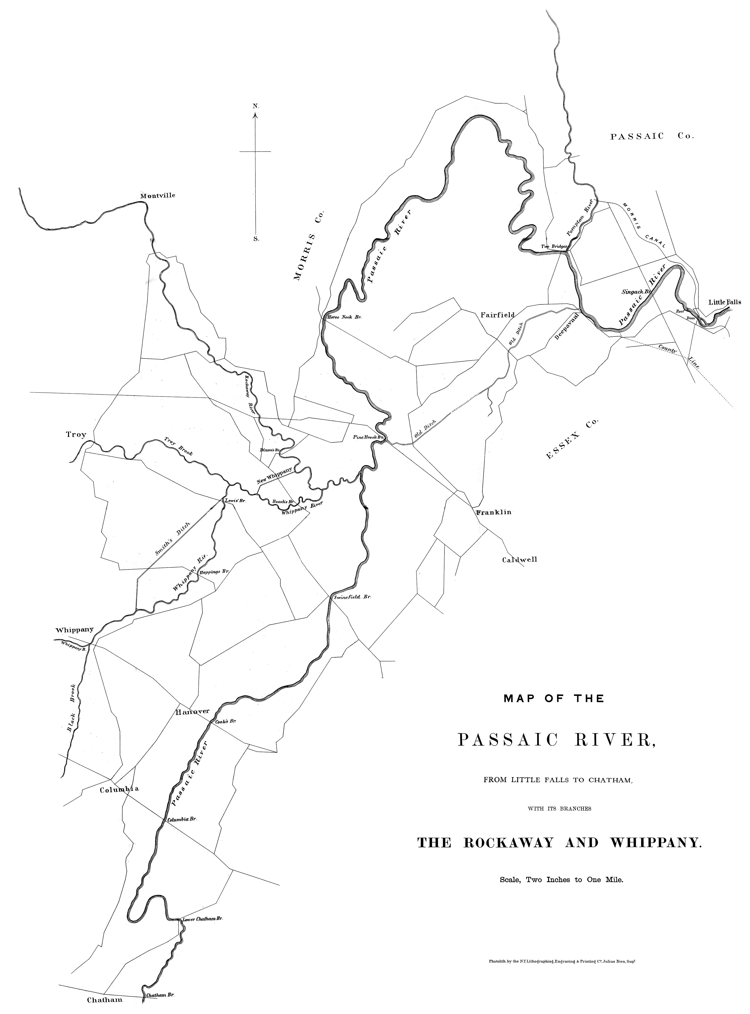
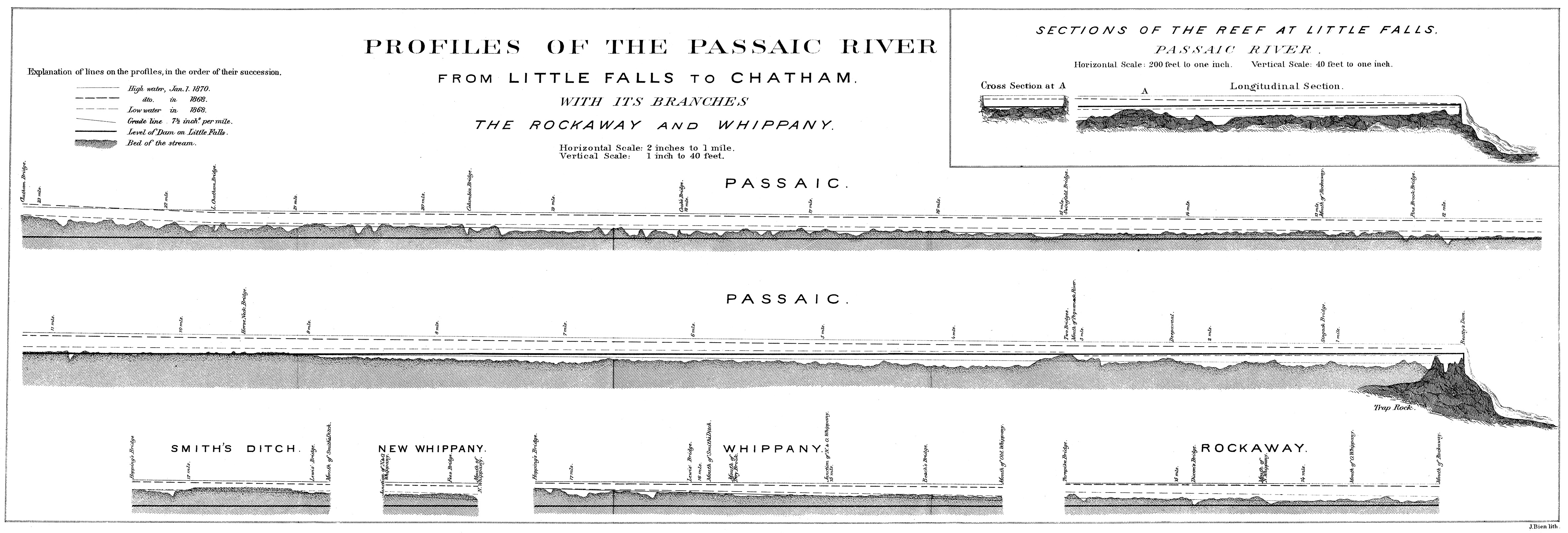
These maps, from my own collection, have been kicking around on my computer for years. The originals are yellowed, spotted, and tattered, and in my compulsive (or should I be kind to myself and say meticulous) way, I cleaned up the scans until they now look almost too white and bright, like I doused them with bleach and put them through the wash. Though they fit the water theme, they are farther afield than most of the maps here. But I did too much fussy work trying to make them pretty to let them sit unseen forever. The first map, showing the area near Salem, New Jersey, shows tidal marshland that was once typical of Southwest Philadelphia, but which was filled in with dredge spoils and garbage until almost none of it remained. We now have an international airport there instead.
Clicking the images will open large versions of my copies. For comparison, clicking the captions of each will take you to unedited copies of these maps at the Princeton University Library.
All the items below were part of the Annual Report of the State Geologist of New Jersey [George H. Cook] for the Year 1869.