
Map Lovers’ Monday: Schuylkill River from Wissahickon Creek to Norristown, 1913
February 26, 2024
The Schuykill River near the peak of its industrial might, in 1913.
The Schuykill River near the peak of its industrial might, in 1913.
Added November 29, 2025: Drinking Water Quality reports from the 1960s to the present, listed chronologically. My ultimate goal is to eventually post a comprehensive list of all reports relating to Philadelphia’s water supply, from the late 18th century to the present, with links to PDFs of each. It may be a while before I […]
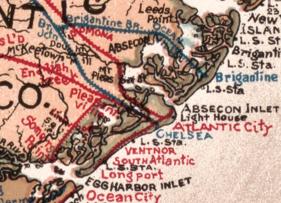
From the city to the shore to the mountains, this fun, colorful map has it all.
Three maps from the1870 Annual Report of the Commissioners of Fairmount Park In 1868, Fairmount Park was enlarged to more than 2000 acres with the purchase of land on both banks of the Schuylkill River. One goal of this purchase, and a later purchase of land along Wissahickon Creek, was to protect water quality in […]

A surprising urban nature center in North Philadelphia.

Maps of the Pennypack Creek watershed, which is mostly protected by a gem of a park in Northeast Philadelphia.

Map showing transportation routes in Philadelphia and vicinity, focusing mainly on the suburbs, with many interesting details.
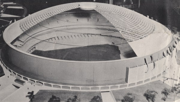
A modelmakers’ brochure with local buildings inspires me to find out what came before.

This Victorian burial ground, in the Cobbs Creek watershed, almost disappeared back into the woods. Read about its comeback, and how you can help.

A priceless set of plans documenting a water supply proposal that amounted to nothing.

It’s not always what’s up front that counts the most.

Only a ghost now remains of what was one of the largest sugar refining complexes in the United States.