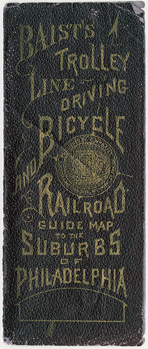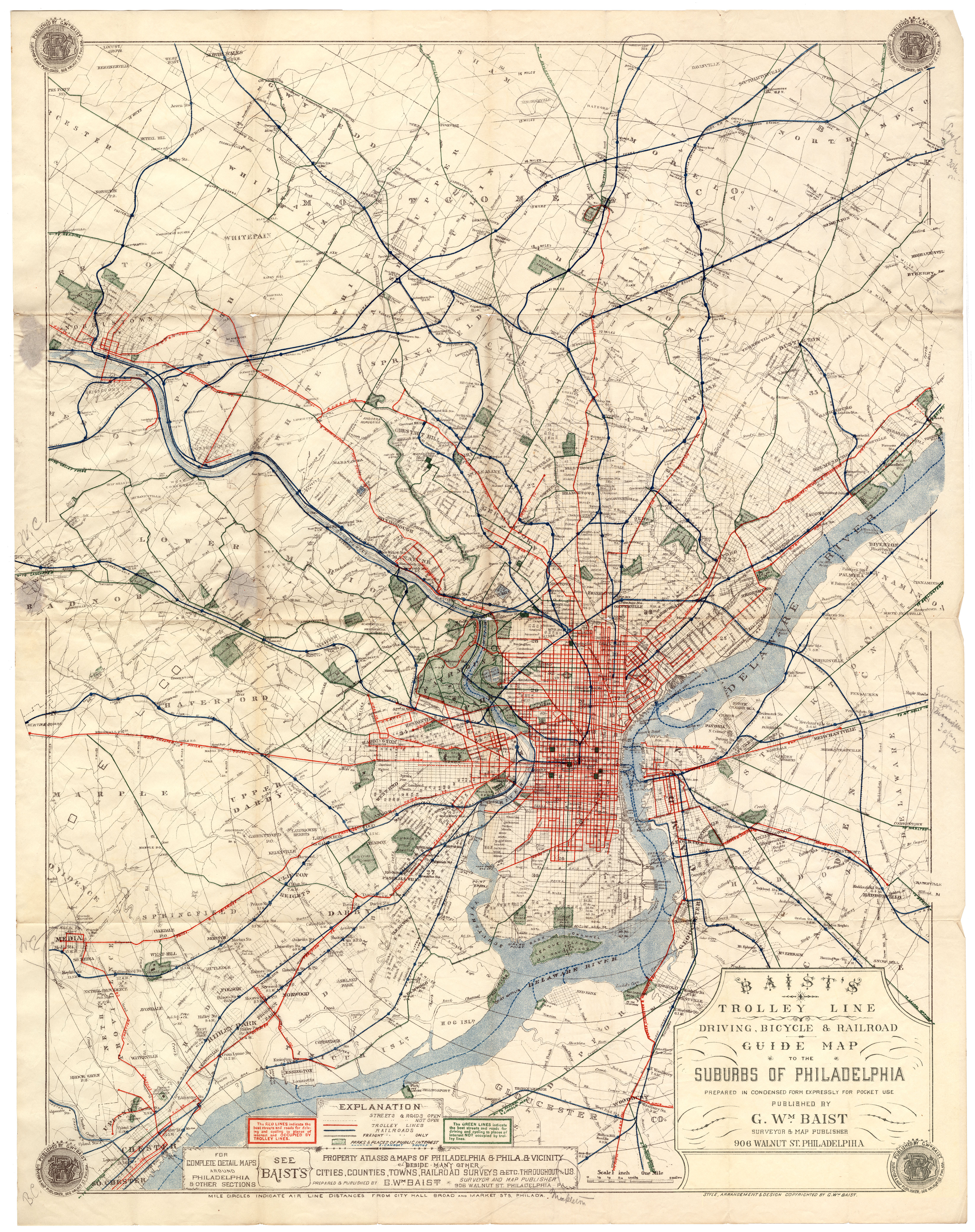
TITLE BLOCK Baist’s Trolley Line, Driving, Bicycle & Railroad Guide Map to the Suburbs of Philadelphia. Prepared in condensed form expressly for pocket use. Published by G. Wm. Baist, surveyor & map publisher, 906 Walnut St., Philadelphia.
DATE [1896]
EXTENT This folding pocket map covers all of Philadelphia, and parts of Delaware, Montgomery and Bucks counties in Pennsylvania, and parts of Camden and Gloucester counties in New Jersey.
SOURCE Collection of Adam Levine
WHY DO I LIKE THIS MAP? This early road map has great details in the suburban areas, showing not only trolley lines, railroad lines, and bicycling routes, but also smaller connecting roads and streams. “The green lines,” reads a note on the map, “indicate the best streets and roads for driving and cycling to places of interest NOT occupied by trolley tracks.” Roads with trolley tracks are marked in red, and drivers and cyclists warned away from them. I assume that trolley tracks could catch the wheels of horse-drawn carriages and possibly upset them; I know from personal experience that tracks can upset bicyclists. (Ask me to show you the scar on my elbow.) Besides the danger of the tracks, trolley operators in suburban and rural areas often drove at speeds greater than other users of the road, with a clattering and clanging that might frighten horses and cyclists alike.
OTHER INFORMATION This map has no date, but an identical copy posted on the Penn State Digital Library provides the date of 1896. It is 67×52 cm, folding down to a pocket sized 18×7 cm. I scanned it at 400 DPI with an Epson 11000XL scanner in six sections, which were stitched together with Adobe Photoshop. Some minor imperfections in the alignment of various sections may be apparent on close inspection. The file presented here is reduced in size and quality from the original 293 mb tif.