
Schuylkill Navigation: Celebrating 200 years
September 29, 2024
Learn more about the upcoming 200th birthday of Pennsylvania’s pioneering slackwater-canal system, with events all along the river in Spring 2025.
Learn more about the upcoming 200th birthday of Pennsylvania’s pioneering slackwater-canal system, with events all along the river in Spring 2025.
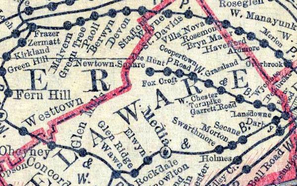
Where have all the railroads gone?

Politicians may be a different breed from the rest of us, but even they need to drink.

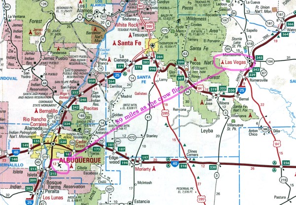
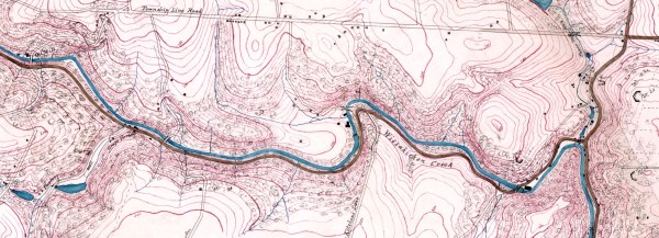
This remarkable map website offers endless opportunities for hours, or days, or weeks of browsing.

These posters from 1942 promote a timeless message.

It wasn’t raining cats and dogs, but somehow a cat and a dog got stuck in the sewer. On National Adopt a Shelter Pet Day, I offer these stories of their respective rescues.
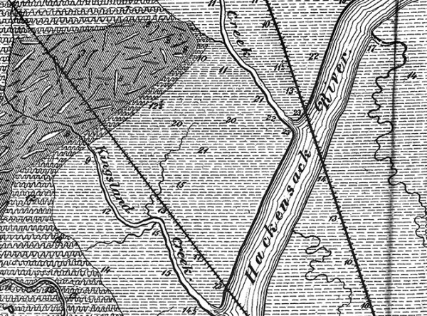
Marshland and more from the state across the river.
Missing a plane, the old-fashioned way: by human error.
When it comes to mapmaking, more is not necessarily better (but sometimes it is).

The Philadelphia and South Jersey waterfront on the eve of World War II.
TITLE BLOCK Map of a reconnaissance of the approaches to Philadelphia showing the positions and lines of defence on the north front of the city. Made under the direction of A.D. Bache, Supt. U.S. Coast Survey, Engineer in Charge of the Defences ; general field reconnaissance by George Davidson, Assistant U.S. Coast Survey ; details […]
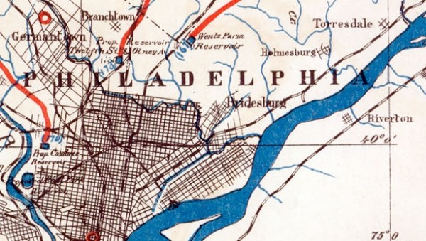
These maps document four years spent looking for an alternative drinking water sources for Philadelphia in the mid-1880s. After all that work, the supply stayed the same – the dirty Delaware and smelly Schuylkill.