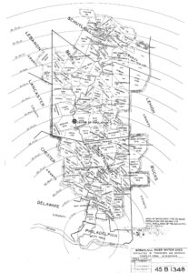
Schuylkill River watershed, population in 1904

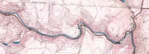
Map Lovers’ Monday: Schuylkill River from Wissahickon Creek to Norristown, 1913
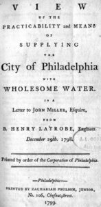
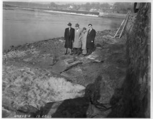
Annual reports and other documents relating to Philadelphia’s water supply system, 1796-1941
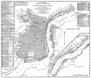
Map of Philadelphia Harbor, Delaware and Schuylkill, 1912
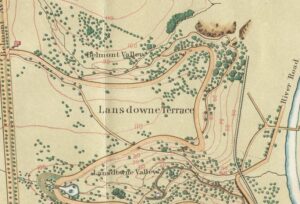
Map Lover’s Monday: Fairmount Park, 1869
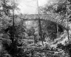
Cresheim Aqueduct
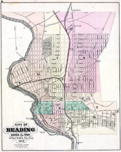
Street map of Reading, Pennsylvania, 1872
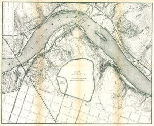
Fairmount Park topographical map, showing East Park Reservoir, 1872
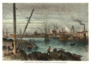
Schuylkill River from below the South Street Bridge, 1873
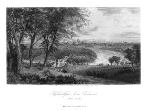
Philadelphia from Belmont, West Park (Picturesque America)
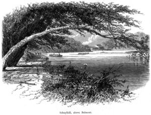
Schuylkill River above Belmont (Picturesque America)
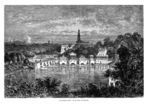
Fairmount Water Works (Picturesque America)
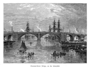
Chestnut Street Bridge, on the Schuylkill River (Picturesque America)

Fairmount and Schuylkill, Appletons’ Journal, 1869
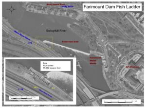
Fairmount Dam Fish Ladder diagram

PWD’s Jay Cruz with a striped bass
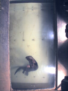
Otter at Fairmount Water Works fishcam, 2005

PWD’s Joe Perillo holds an American shad near the Fairmount Fishway
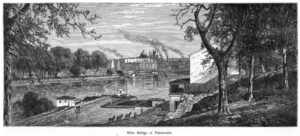
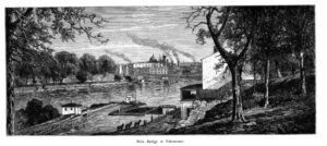
Wire Bridge at Fairmount, with canal lock and esplanade, 1873
Schuylkill Navigation lock at Fairmount, 1873
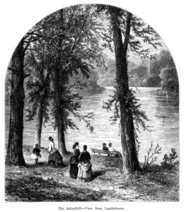
Schuylkill River at Lansdowne (Picturesque America)
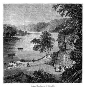
Schuylkill River at Rockland Landing (Picturesque America)