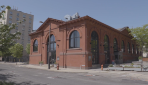

Sandy Run Watershed and the Holmesburg Water Works

PWD Celebrates Black History Month
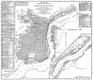
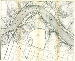
Map of Philadelphia Harbor, Delaware and Schuylkill, 1912
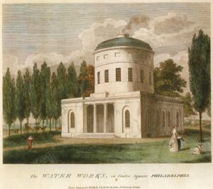
Birch’s Views of Philadelphia, 1800
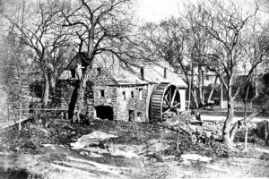
Roberts Mill, Wingohocking Creek, 1871
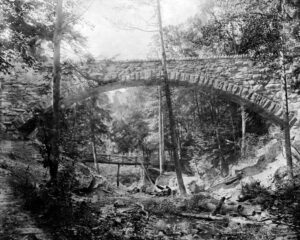
Cresheim Aqueduct
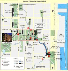
Map of Historic Dock Creek
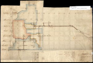
Drainage area plan, early 19th century

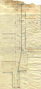
Sassafras (Race) Street Survey, 1819
Pine Street sewer plan, 1848
Fairmount Park topographical map, showing East Park Reservoir, 1872
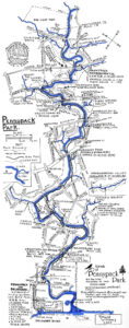
Pennypack Park Map
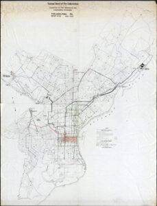
Fire Underwriters’ Map, 1949
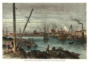
Schuylkill River from below the South Street Bridge, 1873
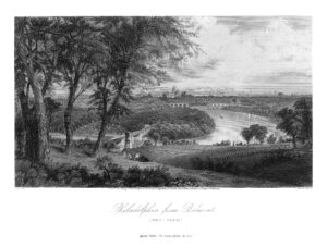
Philadelphia from Belmont, West Park (Picturesque America)
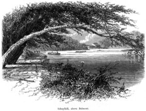
Schuylkill River above Belmont (Picturesque America)
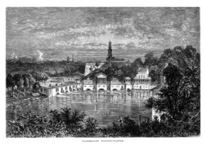
Fairmount Water Works (Picturesque America)
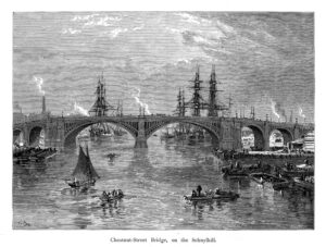
Chestnut Street Bridge, on the Schuylkill River (Picturesque America)

Noll’s New Official Guide Map of Philadelphia, 1897

Fairmount and Schuylkill, Appletons’ Journal, 1869

Wingohocking Sewer outfall into Frankford Creek
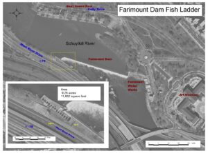
Fairmount Dam Fish Ladder diagram