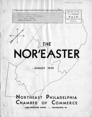
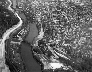
Two views on the water supply, 1939
The Waffle: Water History Video 6
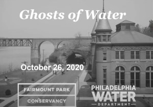
Ghosts of Water in Fairmount Park, Part 1, with Adam Levine
Rebirth of the Rivers: Water History Video 3
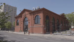
Repurposing Old Infrastructure: Water History Video 5
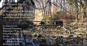
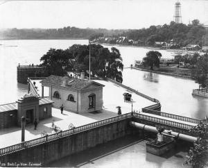
Sandy Run Watershed and the Holmesburg Water Works
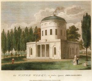
Birch’s Views of Philadelphia, 1800
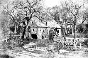
Roberts Mill, Wingohocking Creek, 1871
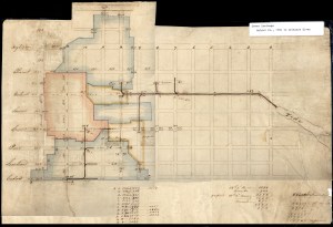
Drainage area plan, early 19th century

Pennypack Park Map
