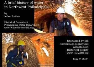
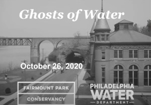
Ghosts of Water in Fairmount Park, Part 1, with Adam Levine
Repurposing Old Infrastructure: Water History Video 5

Sandy Run Watershed and the Holmesburg Water Works
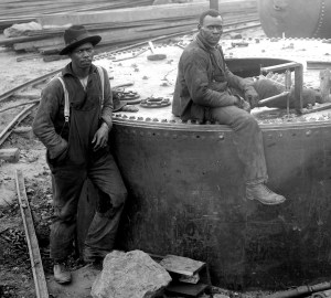
PWD Celebrates Black History Month
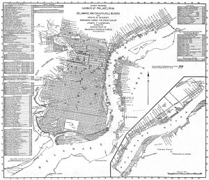
Map of Philadelphia Harbor, Delaware and Schuylkill, 1912
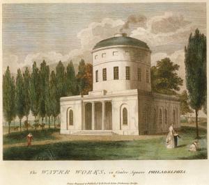
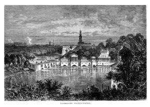
Birch’s Views of Philadelphia, 1800
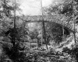
Cresheim Aqueduct
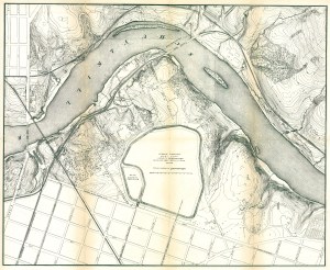
Fairmount Park topographical map, showing East Park Reservoir, 1872
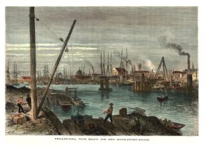
Schuylkill River from below the South Street Bridge, 1873

Philadelphia from Belmont, West Park (Picturesque America)