
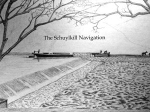
The Schuylkill Navigation: A Journey on the Historic Nineteenth Century Waterway

The Schuylkill Navigation: A Journey on the Historic Nineteenth Century Waterway
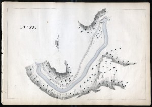
Thomas Gill Maps of the Schuylkill Navigation, 1827
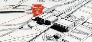
Map Lovers’ Monday: Philadelphia in 1957, according to the Pennsy
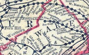
Map Lovers’ Monday: So many railroads!
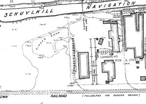
Map Lovers’ Monday: Schuylkill River from Wissahickon Creek to Norristown, 1913
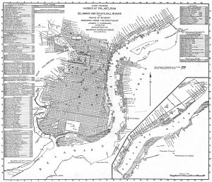
Map of Philadelphia Harbor, Delaware and Schuylkill, 1912
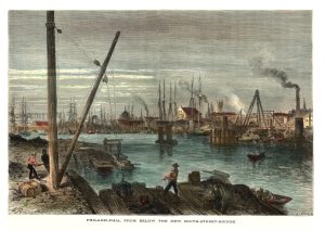
Schuylkill River from below the South Street Bridge, 1873
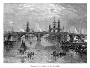
Chestnut Street Bridge, on the Schuylkill River (Picturesque America)
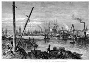
Schuylkill River from below the South Street Bridge, 1873
