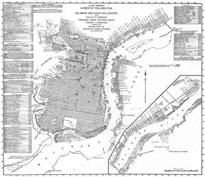
Map of Philadelphia Harbor, Delaware and Schuylkill, 1912
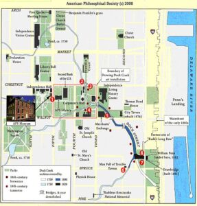
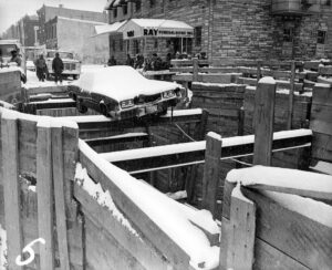
Map of Historic Dock Creek
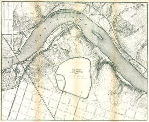
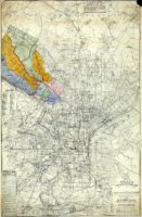
Fairmount Park topographical map, showing East Park Reservoir, 1872
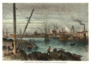
Schuylkill River from below the South Street Bridge, 1873
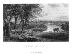
Philadelphia from Belmont, West Park (Picturesque America)
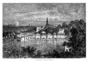
Fairmount Water Works (Picturesque America)
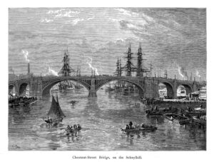
Chestnut Street Bridge, on the Schuylkill River (Picturesque America)
Noll’s New Official Guide Map of Philadelphia, 1897

Wingohocking Sewer outfall into Frankford Creek
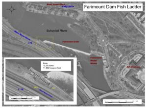
Fairmount Dam Fish Ladder diagram

Fairmount Dam Fishway sign
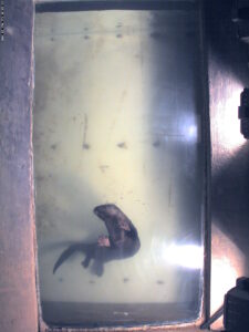
Otter at Fairmount Water Works fishcam, 2005
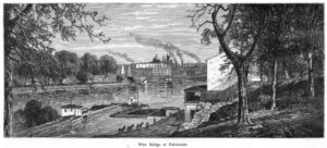
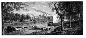
Wire Bridge at Fairmount, with canal lock and esplanade, 1873
Schuylkill Navigation lock at Fairmount, 1873
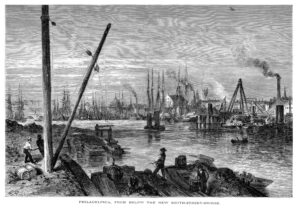
Schuylkill River from below the South Street Bridge, 1873
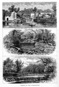
Scenes on the Wissahickon Creek (Picturesque America)
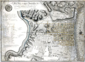
Plan of Philadelphia, John Hills, 1796
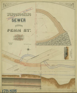
Wingohocking Sewer across Penn St.
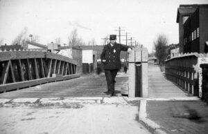
Two Frankford Creek Bridges, 1896-1899

Centre Square Water System, Drawings of Intake Basin
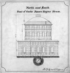
Centre Square Water Works, Frederick Graff, Sr. Plans, 1799
Centre Square Water Works, Latrobe Plans, 1799