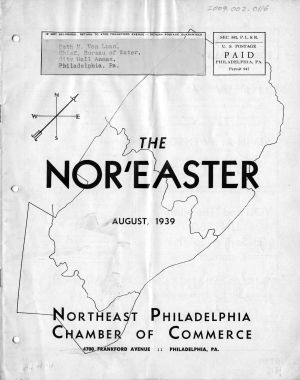
Two views on the water supply, 1939
The Waffle: Water History Video 6
Creek to Sewer: Water History Video 1
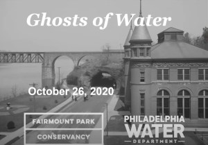
Ghosts of Water in Fairmount Park, Part 1, with Adam Levine
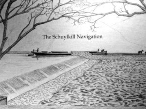
The Schuylkill Navigation: A Journey on the Historic Nineteenth Century Waterway
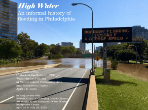
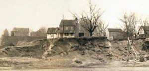
High Water: An Informal History of Flooding in Philadelphia
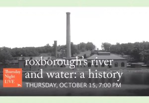
History of Water in Roxborough: A talk by Adam Levine
Making It Safe to Drink: Water History Video 2
Rebirth of the Rivers: Water History Video 3

Schuylkill River watershed, population in 1904