Two views on the water supply, 1939

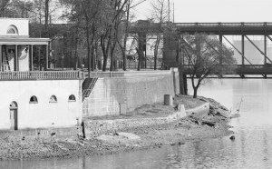
The pipe beneath the rocky path
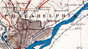
Map Lovers’ Monday: Philadelphia in 1897, with color added
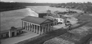
Fairmount Water Works in High Resolution

Creek to Sewer: Water History Video 1
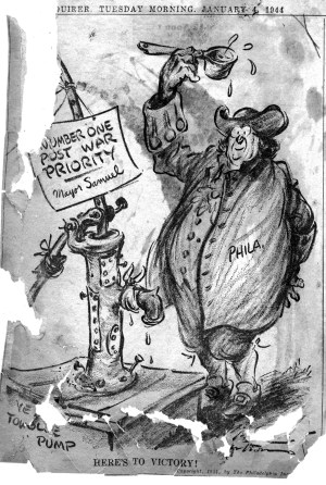
Water Bureau Newspaper Scrapbook, 1942-1952
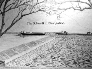
The Schuylkill Navigation: A Journey on the Historic Nineteenth Century Waterway
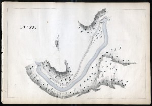
Thomas Gill Maps of the Schuylkill Navigation, 1827
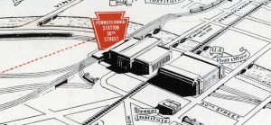
Map Lovers’ Monday: Philadelphia in 1957, according to the Pennsy

History of Water in Roxborough: A talk by Adam Levine