Archival Storytelling: Water History Video 4

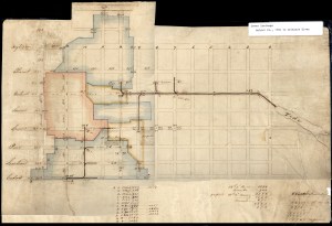
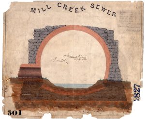
Creek to Sewer: Water History Video 1
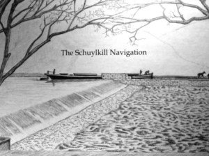
The Schuylkill Navigation: A Journey on the Historic Nineteenth Century Waterway

History of Water in Roxborough: A talk by Adam Levine
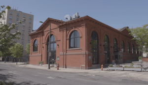
Repurposing Old Infrastructure: Water History Video 5

Sandy Run Watershed and the Holmesburg Water Works
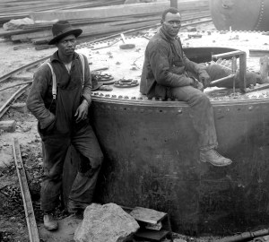
PWD Celebrates Black History Month
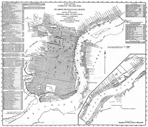
Map of Philadelphia Harbor, Delaware and Schuylkill, 1912
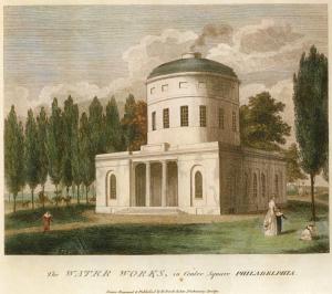
Birch’s Views of Philadelphia, 1800
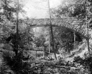
Cresheim Aqueduct