A new book, more than 40 years in the making, about an iconic Philadelphia building
Fairmount Water Works: The Surprising History of an American Landmark
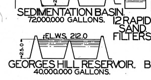
Philadelphia drinking water 90+ years ago

The pipe beneath the rocky path
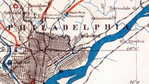
Map Lovers’ Monday: Philadelphia in 1897, with color added
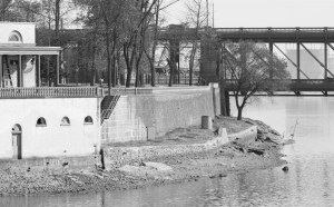
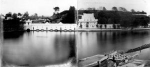
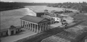
Fairmount Water Works in High Resolution
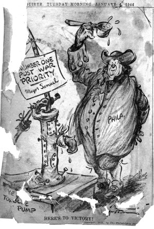
Water Bureau Newspaper Scrapbook, 1942-1952
Map Lovers’ Monday: AQUA, in the beginning
Map Lover’s Monday: Looking for Cleaner Water
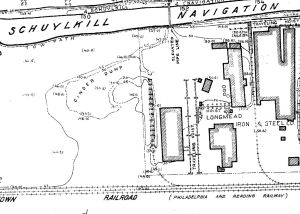
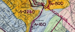
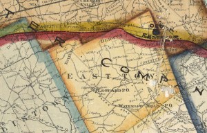
Map Lovers’ Monday: Schuylkill River from Wissahickon Creek to Norristown, 1913