Map of Philadelphia Harbor, Delaware and Schuylkill, 1912

Old U. S. Navy Yard
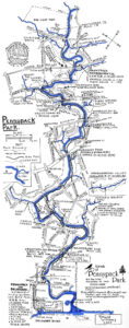
Pennypack Park Map
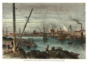
Schuylkill River from below the South Street Bridge, 1873
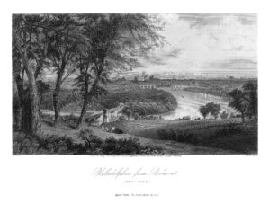
Philadelphia from Belmont, West Park (Picturesque America)
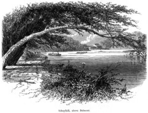
Schuylkill River above Belmont (Picturesque America)
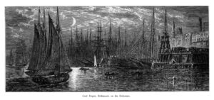
Coal Depot, Richmond, on the Delaware (Picturesque America)
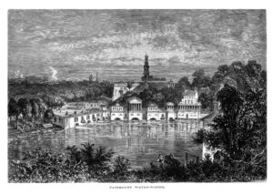
Fairmount Water Works (Picturesque America)
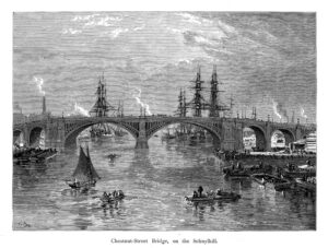
Chestnut Street Bridge, on the Schuylkill River (Picturesque America)
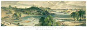
Fairmount and Schuylkill, Appletons’ Journal, 1869
Schuylkill Navigation lock at Fairmount, 1873
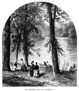
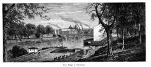
Schuylkill River at Lansdowne (Picturesque America)
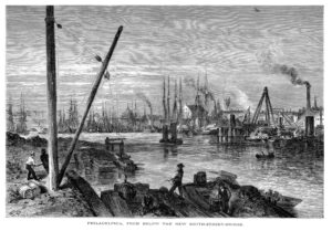
Schuylkill River from below the South Street Bridge, 1873
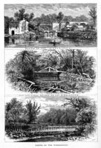
Scenes on the Wissahickon Creek (Picturesque America)
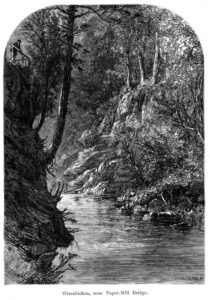
Wissahickon Creek near the Paper Mill Bridge (Picturesque America)
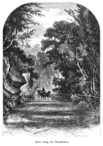
Drive along the Wissahickon Creek Vallley (Picturesque America)
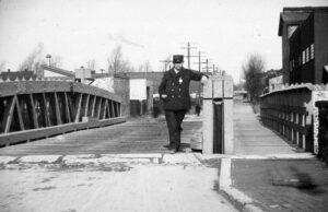
Two Frankford Creek Bridges, 1896-1899

Visionary planning report for Philadelphia region, 1928
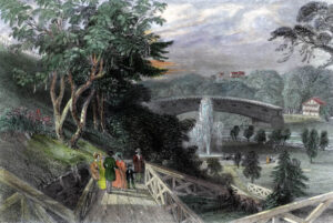
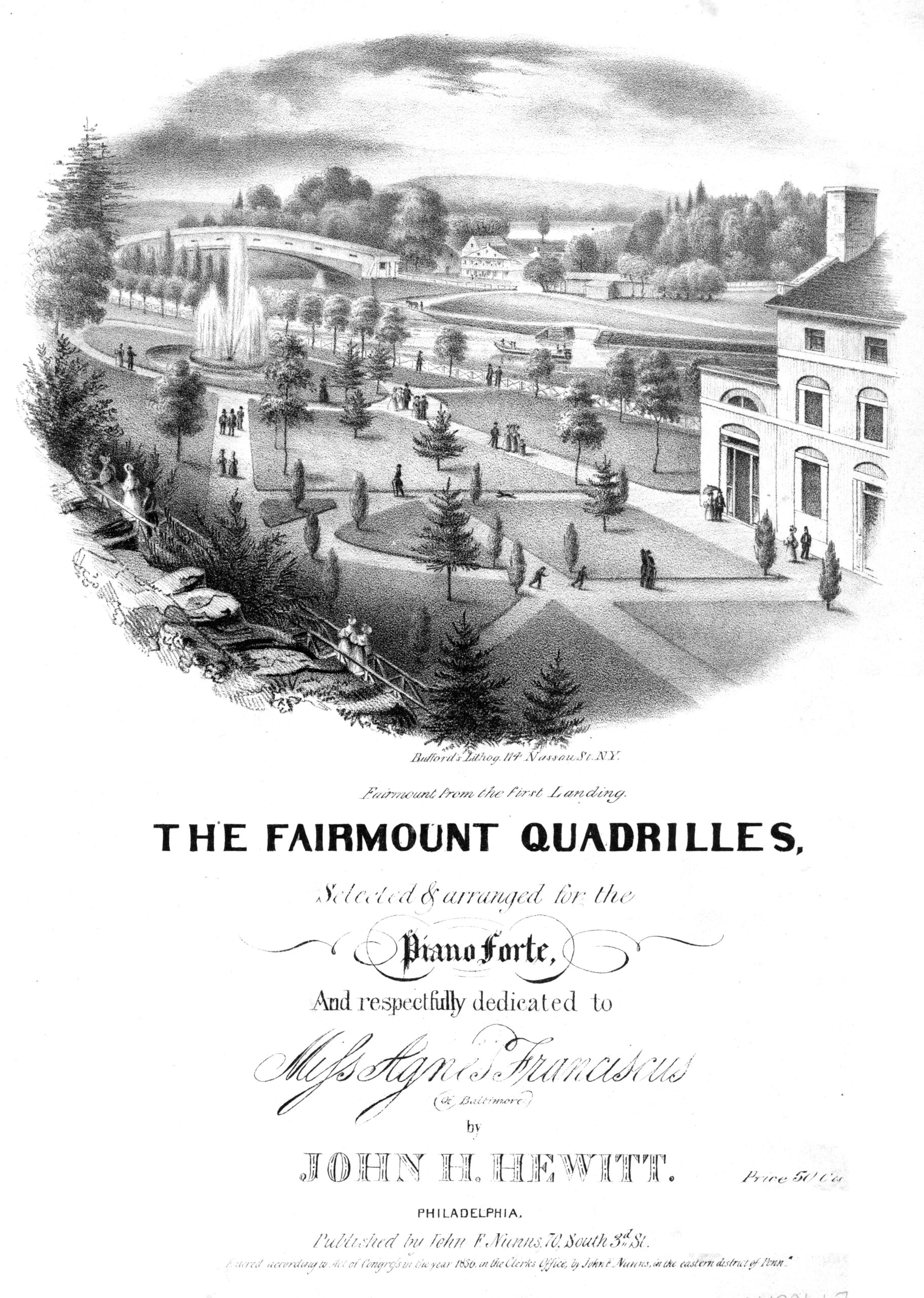
Fairmount Gardens with the Schuylkill Bridge, 1839
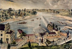
Fairmount Water Works and the Schuylkill River, 1838
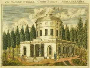
Centre Square Engine House, ca. 1807
Army Corps of Engineers 1882 Report on Navigation in Frankford Creek