Water History: Rebirth of the Rivers

Sandy Run Watershed and the Holmesburg Water Works
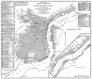
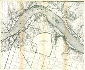
Map of Philadelphia Harbor, Delaware and Schuylkill, 1912
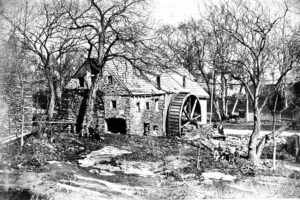
Roberts Mill, Wingohocking Creek, 1871
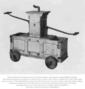
Hand-pumped fire engine, 1792
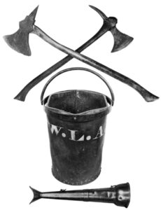
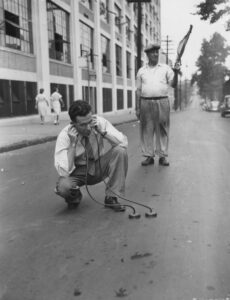
Fire equipment, late 18th century

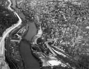
Old U. S. Navy Yard
Fairmount Park topographical map, showing East Park Reservoir, 1872
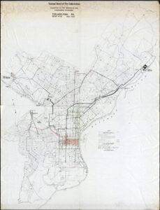
Fire Underwriters’ Map, 1949
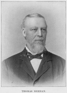
Thomas Meehan, city councilman
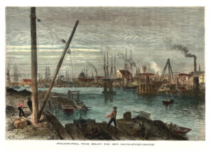
Schuylkill River from below the South Street Bridge, 1873

Coal Depot, Richmond, on the Delaware (Picturesque America)
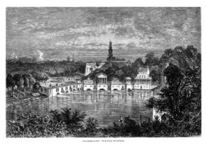
Fairmount Water Works (Picturesque America)
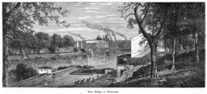
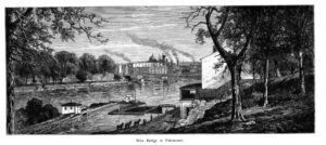
Wire Bridge at Fairmount, with canal lock and esplanade, 1873
Schuylkill Navigation lock at Fairmount, 1873
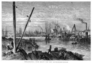
Schuylkill River from below the South Street Bridge, 1873
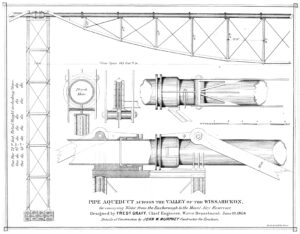
Wissahickon Pipe Aqueduct, Roxborough to Mt. Airy, 1868
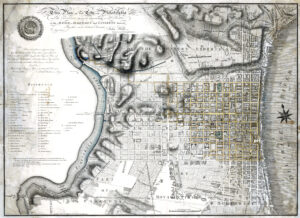
Plan of Philadelphia, John Hills, 1796
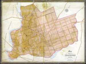
Map of Frankford Borough, 1845
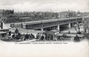
Girard Avenue Bridge, Fairmount Park, 1895
Philadelphia Navy Yard, July 1872
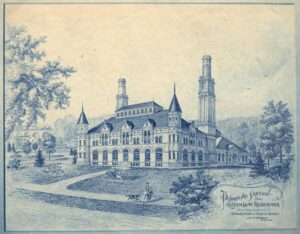
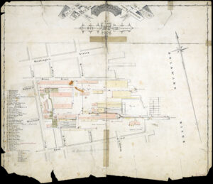
Queen Lane Pumping Station, proposed design