Water
History
PHL
Show/Hide Menu
Items
Articles
Topics
About
Blog
Show/Hide Search
Search!
Topics
Nature
Birch’s Views of Philadelphia, 1800
Map Lover’s Monday: Fairmount Park, 1869
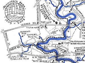
Pennypack Park Map
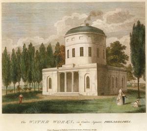
The Discovery Center: The creative reuse of an abandoned city reservoir
Philadelphia from Belmont, West Park (Picturesque America)
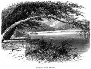
Schuylkill River above Belmont (Picturesque America)
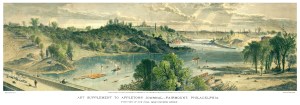
Fairmount and Schuylkill, Appletons’ Journal, 1869
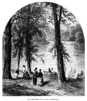
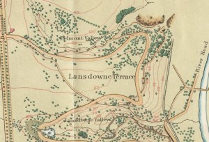
Schuylkill River at Lansdowne (Picturesque America)
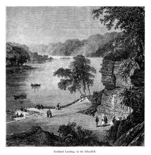
Schuylkill River at Rockland Landing (Picturesque America)
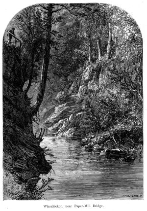
Wissahickon Creek near the Paper Mill Bridge (Picturesque America)
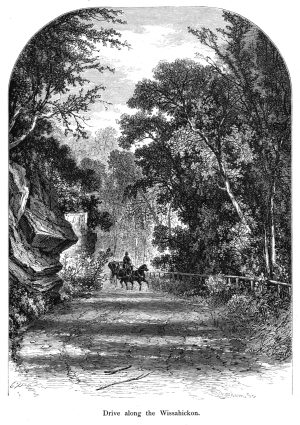
Drive along the Wissahickon Creek Vallley (Picturesque America)
Plans and maps of the Pennypack Creek Watershed in Philadelphia
Mount Moriah Historic Cemetery and Arboretum
The ecology of Center City, Philadelphia (in case you didn’t know there was any)
Requiem for a stream: Adams Run in Oak Lane
Smith and Windmill Islands
Cobbs Creek: A Brief Historical Overview
High Water: Flooding in Philadelphia
Visionary planning report for Philadelphia region, 1928
The Water and Drainage History of Philadelphia
Streams, islands, and ferries of early Philadelphia
Fairmount Gardens with the Schuylkill Bridge, 1839
“Town street scavengers from life,” Kollner, 1844
Delaware River at Arch Street from the New Jersey side, 1914
Posts navigation
1
2
Next