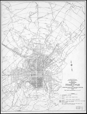
Map of Philadelphia showing Population in year 1920
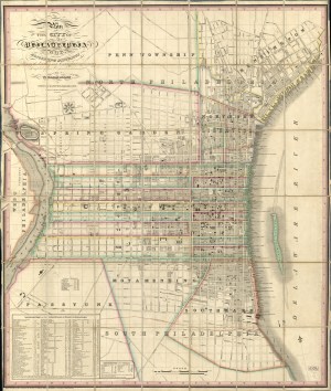
Map of the County of Philadelphia from Actual Survey, 1843
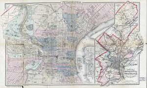
Outline Map of the County and City of Philadelphia and Vicinity, 1883
Philadelphia the Manufacturing and Industrial Capital map, 1906
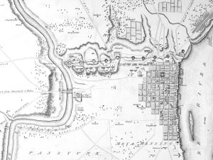
1779 Revolutionary War-era map of Philadelphia and environs

Schuylkill River Hydrographical Survey 1861-66 by H. P. M. Birkinbine
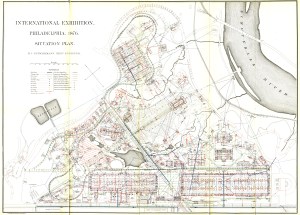
Centennial Exhibition situation plan, 1876

Color Diagram of Plan for the Collection, Purification and Disposal of the Sewage of the City of Philadelphia
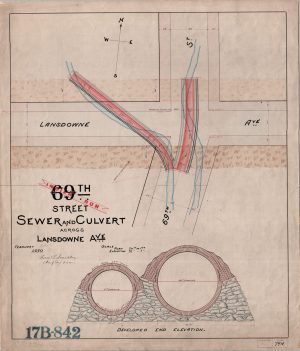
69th St. Sewer and Culvert across Lansdowne AVe.
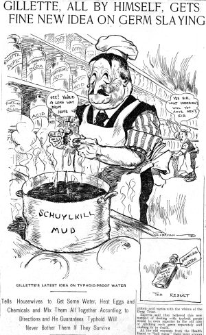
‘Gillette, All By Himself, Gets Fine New Idea On Germ Slaying’