Report on channelization of Frankford Creek for flood control (1947)
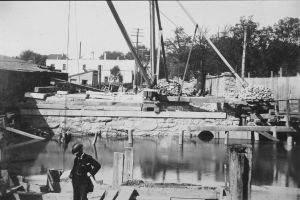
Bridge Street Draw, Cofferdam, ca 1896 [Detail]

Bridge Street Draw, southeast corner property, June 12, 1896
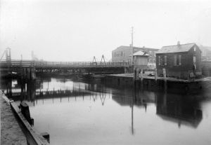
Bridge Street Draw looking north, ca. 1896
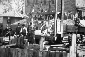
Bridge Street Draw. Southwest side of bridge. April 19, 1896. [Detail of people].
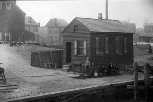
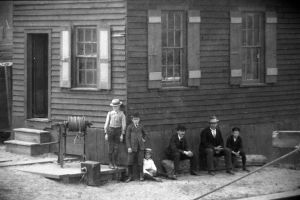
Bridge Street Draw. Southwest side of bridge. April 19, 1896. [Detail].
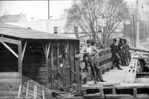
Bridge Street Draw, April 19, 1896. [Detail of men]
Bridge Street Draw. General view of old draw, ca 1896
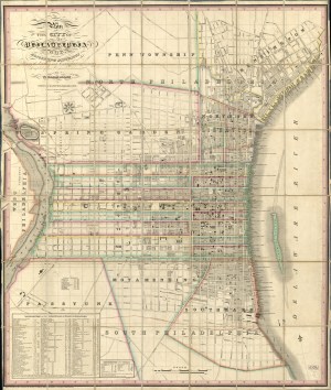
Plan of the City of Philadelphia and Adjoining Districts, 1830
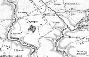
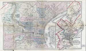
Map of the County of Philadelphia from Actual Survey, 1843