![](https://waterhistoryphl.org/wp-content/uploads/pwd-map-Schuylkill-ERV-1014741.jpg?w=300)
![Philadelphia harbor and rivers chart with points of interest](https://waterhistoryphl.org/wp-content/uploads/1912_Delaware_Schuylkill_Port_AEL-scaled.jpg?w=300)
Map of Philadelphia Harbor, Delaware and Schuylkill, 1912
![City of Reading map, 1872](https://waterhistoryphl.org/wp-content/uploads/1872_Reading-PA_AEL-scaled.jpg?w=300)
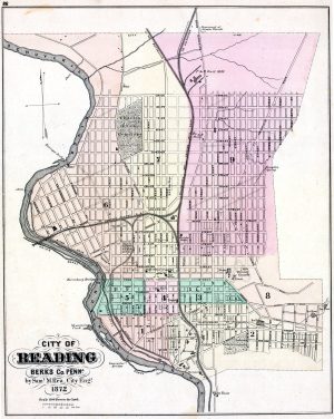
Street map of Reading, Pennsylvania, 1872
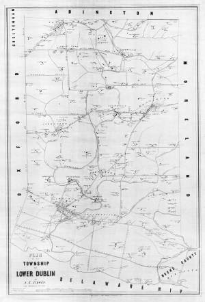
![1848 Pine Street sewer plan showing an outlet into the Delaware River](https://waterhistoryphl.org/wp-content/uploads/DR_20050020519.jpg?w=300)
Pine Street sewer plan, 1848
![](https://waterhistoryphl.org/wp-content/uploads/DrippsComposite_edit.jpg?w=300)
Dripps map of Frankford and vicinity, 1849
![Pennypack Park and Creek map, Roland Williams, 2005](https://waterhistoryphl.org/wp-content/uploads/2005_PennypackPark_RolandWilliams.jpg?w=300)
Pennypack Park Map
![Frankford borough map, 1845](https://waterhistoryphl.org/wp-content/uploads/Frankford-borough-1845-Shallcross-HSF.jpg?w=300)
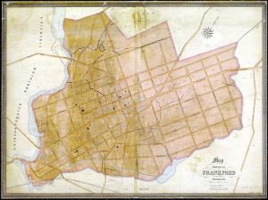
Map of Frankford Borough, 1845
![](https://waterhistoryphl.org/wp-content/uploads/Delaware-City-Archives-NavyYard.jpg?w=300)
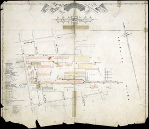
Philadelphia Navy Yard, July 1872
![Hopkins Darby 1877 map](https://waterhistoryphl.org/wp-content/uploads/Hopkins1877_Darby_AEL-scaled.jpg?w=300)
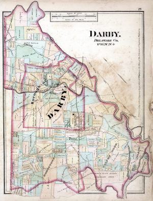
Darby, Delaware County, Pennsylvania, 1877
![Black-and-white image of an ornately lettered document with a decorative border](https://waterhistoryphl.org/wp-content/uploads/SchuyNav_1891_000_Title-1.jpg?w=300)