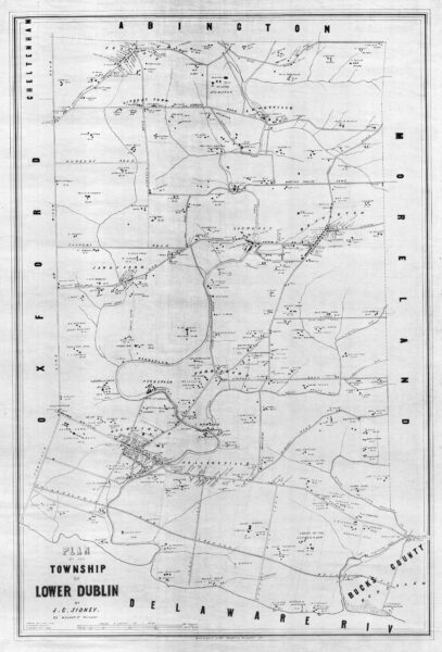
Lower Dublin township in 1848
Lower Dublin was one of the 30 municipal entities in Philadelphia County before the 1854 Act of Consolidation created the enlarged Philadelphia we know today. Full title: "Plan of the Township of Lower Dublin by J. C. Sidney, 80 Walnut St. Philada." Copied by H. M. N, 4th Survey District, 1932. Probable date 1848.
This positive blueprint of a tracing copy of the original map was found in the City Plans Unit of the Philadelphia Department of Streets. The original scan was reduced in size and quality and converted to grayscale for presentation here. You can view the full resolution copy at the Greater Philadelphia Geohistory Network. The original hand-colored published version, with a coating of badly-discolored varnish, can be found here.
