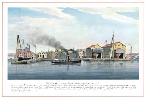
Water
History
PHL
Show/Hide Menu
Items
Articles
Topics
About
Blog
Show/Hide Search
Search!
Items
Images, maps, documents, objects, whatever.
Map of Philadelphia Harbor, Delaware and Schuylkill, 1912
Old U. S. Navy Yard
Navy Yard on the Delaware River (Picturesque America)
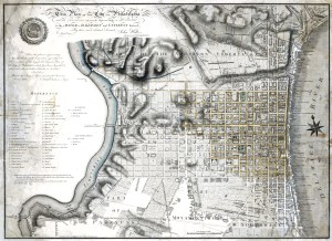
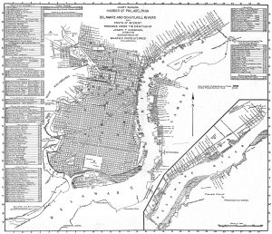
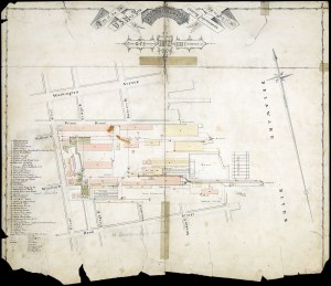
Plan of Philadelphia, John Hills, 1796
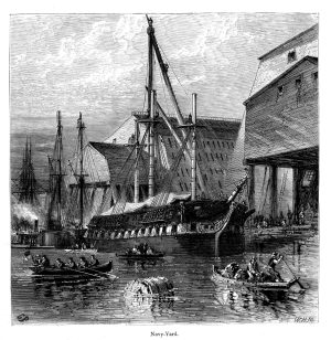
Philadelphia Navy Yard, July 1872
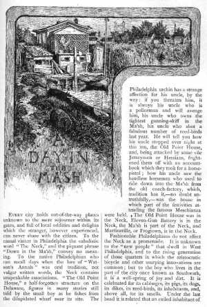
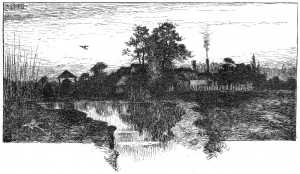
Images from “A Day in the Ma’sh” by Maurice F. Egan, Scribner’s Monthly, July 1881
A Day in the Ma’sh – Untitled (p. 352)
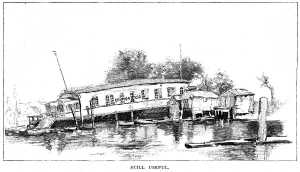
A Day in the Ma’sh – Still Useful
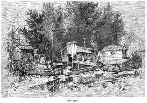
A Day in the Ma’sh – Low Tide
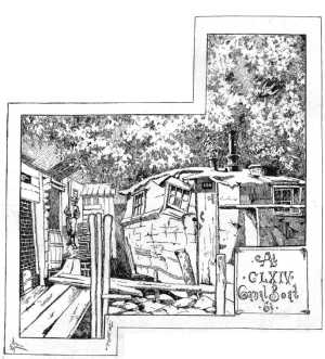
A Day in the Ma’sh – At CLXIV Canal Boat St.
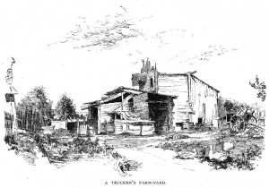
A Day in the Ma’sh – A Trucker’s Farm Yard
A Day in the Ma’sh – A Pusher
A Day in the Ma’sh – Outdoor Tenants
A Day in the Ma’sh – Oil Refinery
A Day in the Ma’sh – Rail-Shooting
A Day in the Ma’sh – Bell Snicklin’
A Day in the Ma’sh – Frontispiece
Frankford Creek: Sad History of an Urban Stream title page
Plan of the City of Philadelphia and Adjoining Districts, 1830
Map of the County of Philadelphia from Actual Survey, 1843
Outline Map of the County and City of Philadelphia and Vicinity, 1883
Southeast Sewage Treatment Works diagram, 1955