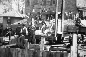

Bridge Street Draw, southeast corner property, June 12, 1896
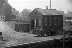
Bridge Street Draw. Southwest side of bridge. April 19, 1896. [Detail].
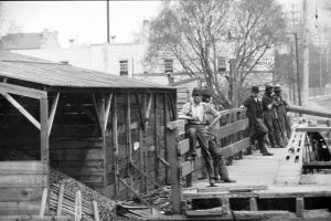
Bridge Street Draw, April 19, 1896. [Detail of men]
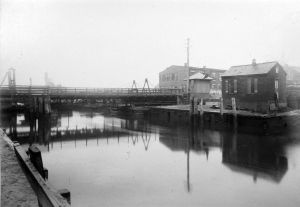
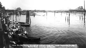
Bridge Street Draw. General view of old draw, ca 1896
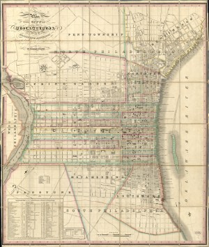
Plan of the City of Philadelphia and Adjoining Districts, 1830

Map of the County of Philadelphia from Actual Survey, 1843
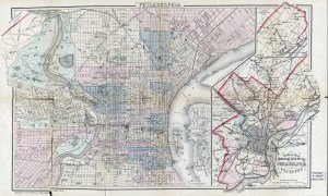
Outline Map of the County and City of Philadelphia and Vicinity, 1883
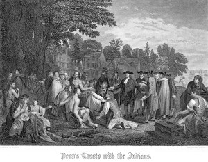
Penn’s Treaty with the Indians (Watson’s Annals)
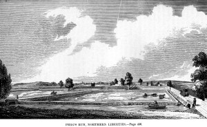
Pegg’s Run, Northern Liberties (Watson’s Annals)