Water
History
PHL
Show/Hide Menu
Items
Articles
Topics
About
Blog
Show/Hide Search
Search!
Items
Images, maps, documents, objects, whatever.
Dripps map of Frankford and vicinity, 1849
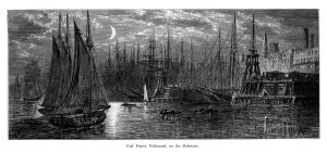
Coal Depot, Richmond, on the Delaware (Picturesque America)
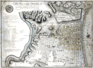
Plan of Philadelphia, John Hills, 1796
Two Frankford Creek Bridges, 1896-1899
Treaty of Penn with Indians
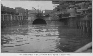
Cohocksink Sewer System outlet at Laurel Street
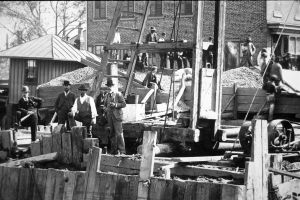
Bridge Street Draw, Cofferdam, ca 1896 [Detail]
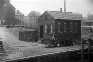
Bridge Street Draw, southeast corner property, June 12, 1896
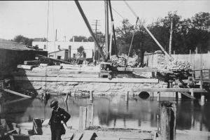
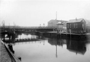
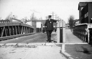
Bridge Street Draw looking north, ca. 1896
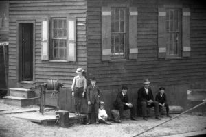
Bridge Street Draw. Southwest side of bridge. April 19, 1896. [Detail of people].
Bridge Street Draw. Southwest side of bridge. April 19, 1896. [Detail].
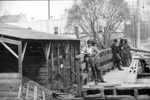
Bridge Street Draw, April 19, 1896. [Detail of men]
Bridge Street Draw. General view of old draw, ca 1896
Plan of the City of Philadelphia and Adjoining Districts, 1830
Map of the County of Philadelphia from Actual Survey, 1843
Outline Map of the County and City of Philadelphia and Vicinity, 1883
Penn’s Treaty with the Indians (Watson’s Annals)
Pegg’s Run, Northern Liberties (Watson’s Annals)
Swimmers at Pier 126, Delaware River, July 15, 1918