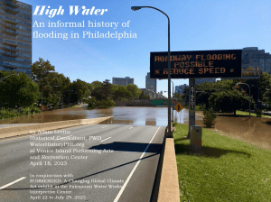
High Water: An Informal History of Flooding in Philadelphia

Pennypack Park Map

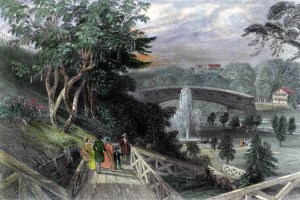
Philadelphia from Belmont, West Park (Picturesque America)
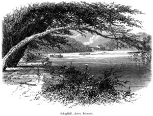
Schuylkill River above Belmont (Picturesque America)
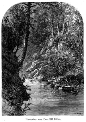
Wissahickon Creek near the Paper Mill Bridge (Picturesque America)
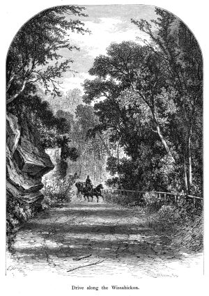
Drive along the Wissahickon Creek Vallley (Picturesque America)
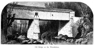
Thomas Mill Covered Bridge over Wissahickon Creek (Picturesque America)

Photos from the Philadelphia Anglers’ Club
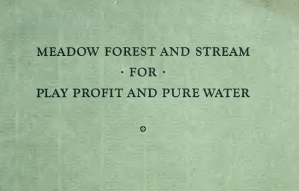
Visionary planning report for Philadelphia region, 1928
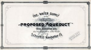
Images from ‘The Water Supply of the City of Philadelphia by a proposed Aqueduct from Norristown Dam’