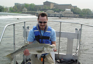
PWD’s Jay Cruz with a striped bass
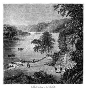
Schuylkill River at Rockland Landing (Picturesque America)

Gritty and the Phanatic in Ida’s Floodwaters
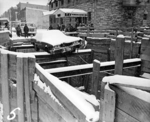
Dauphin and Sydenham car crash, Jan. 17, 1978
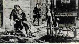
Yellow Fever in Philadelphia, 1793
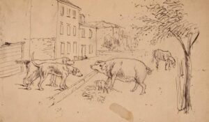
“Town street scavengers from life,” Kollner, 1844
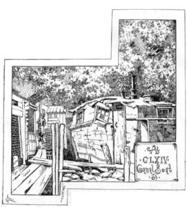
A Day in the Ma’sh – At CLXIV Canal Boat St.

Bridge Street Draw, southeast corner property, June 12, 1896
Congress Hall and New Theatre in Chestnut Street, Philadelphia

High Street from Ninth Street, Philadelphia

High Street, with the First Presbyterian Church, Philadelphia, 1800

South East Corner of Third and Market Streets, Philadelphia, 1800

Arch Street, with the Second Presbyterian Church, 1800
The City and Port of Philadelphia on the River Delaware from Kensington, 1800
Plan of the City of Philadelphia and Adjoining Districts, 1830
Map of Philadelphia showing Population in year 1920

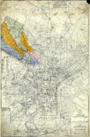
Map of the County of Philadelphia from Actual Survey, 1843
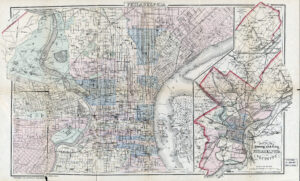
Outline Map of the County and City of Philadelphia and Vicinity, 1883
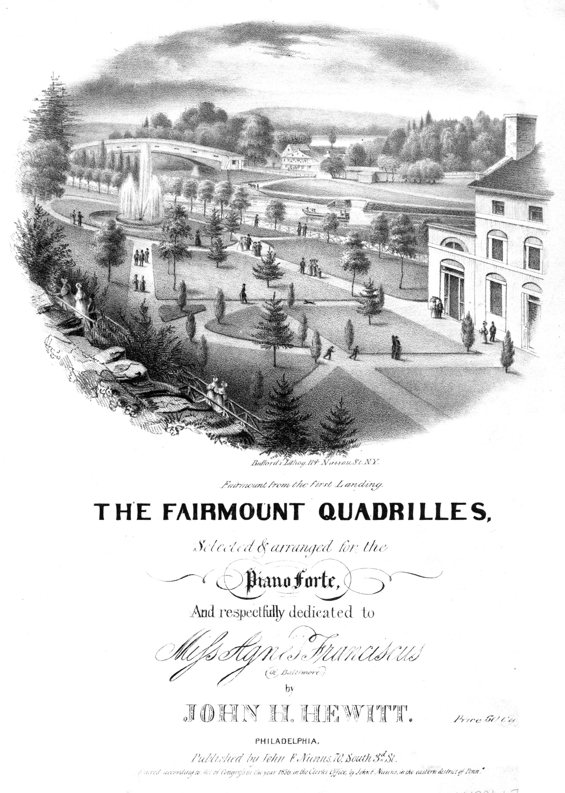
The Fairmount Quadrilles, 1836
Schuylkill steamship excursions ad, 1852
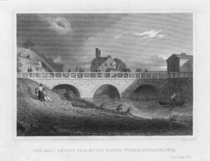
Race Bridge, Fairmount Water Works, 1834
New Plan of Philadelphia, John A. Paxton, 1811