
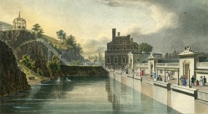
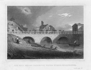
Fairmount Water Works from the forebay, 1833
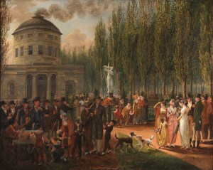
Fourth of July, Centre Square, ca. 1812
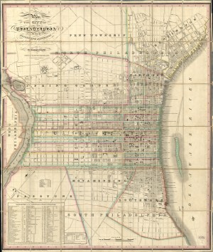
Plan of the City of Philadelphia and Adjoining Districts, 1830

Map of the County of Philadelphia from Actual Survey, 1843
Historic resources from our archives - images, maps, documents, and more.