Water History PHL
Philadelphia’s Water Supply, Watersheds, and Sewers
-
Blog Post
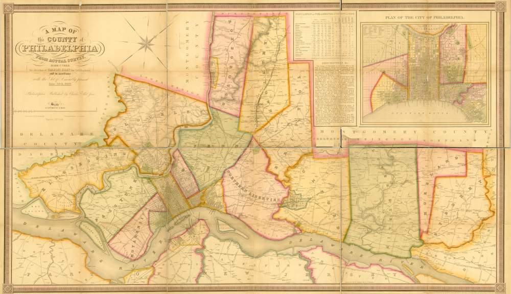
Map Lovers’ Monday: The Ellet Map of Philadelphia County, 1843
The so-called Ellet map of 1843 shows many Philadelphia streams that no longer exist.
-
MAP
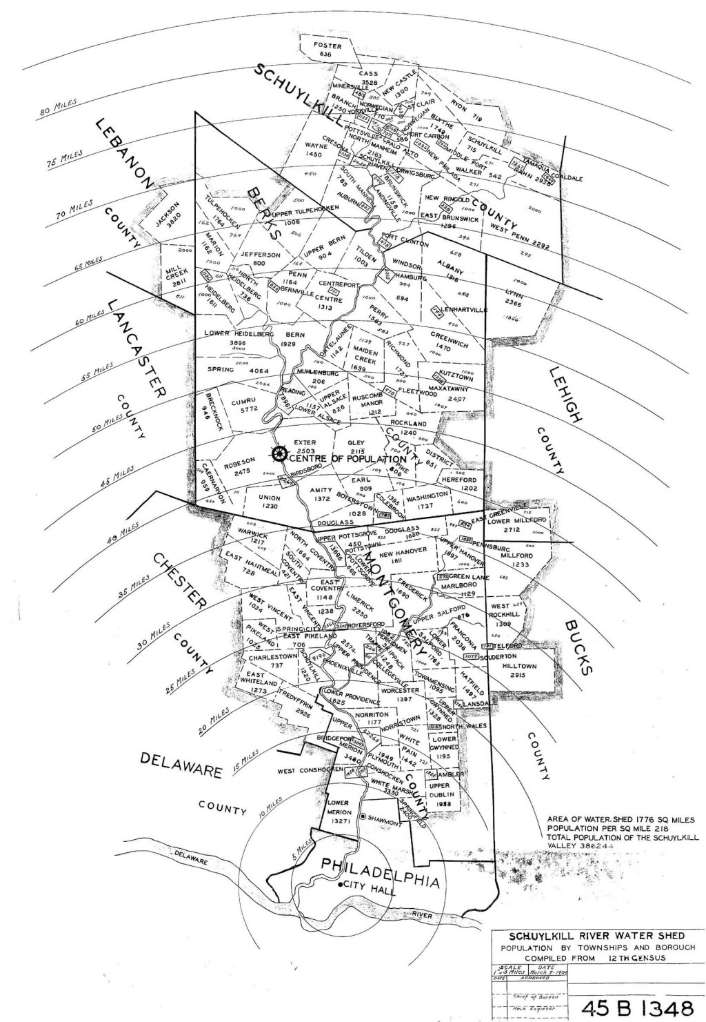
Schuylkill River watershed, population in 1904
Map showing all the municipalities in the Schuylkill River watershed, and their populations as of 1900. The total population given on the map, 386,244, does not include the City of Philadelphia.
-
Image
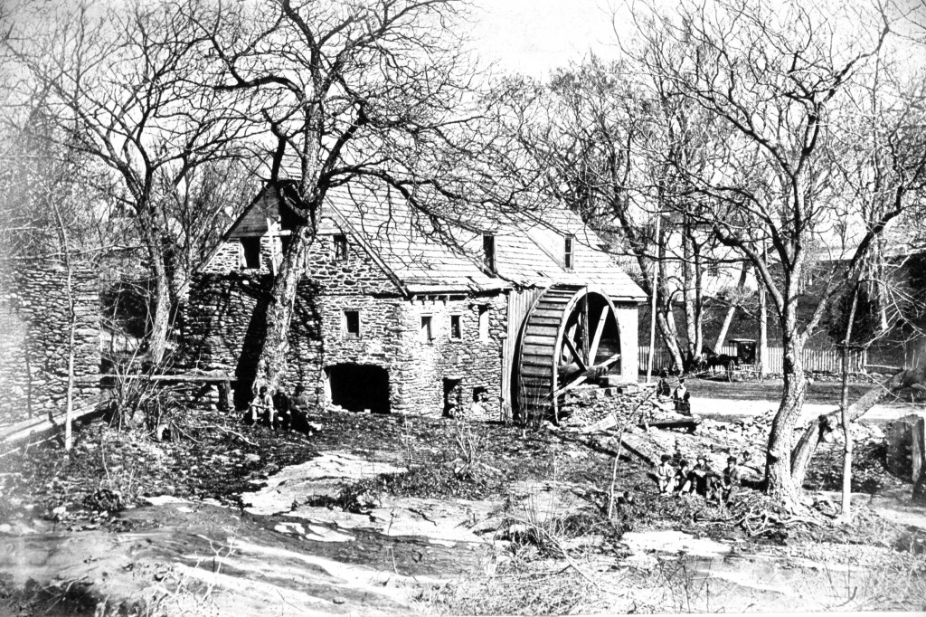
Roberts Mill, Wingohocking Creek, 1871
Also known as Townsend’s Mill, this grist mill stood on Wingohocking Creek from roughly 1683 until its demolition in the mid 1870s.