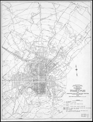
Map of Philadelphia showing Population in year 1920
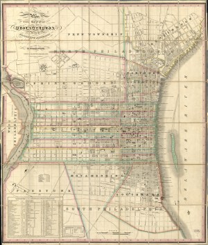
Map of the County of Philadelphia from Actual Survey, 1843
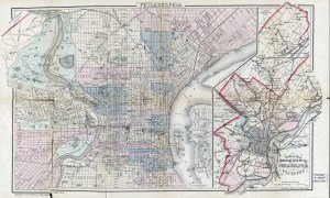
Outline Map of the County and City of Philadelphia and Vicinity, 1883

Schuylkill River Hydrographical Survey 1861-66 by H. P. M. Birkinbine
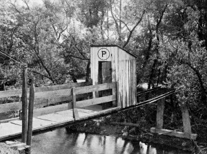
Outhouse over the Schuylkill near Pottstown
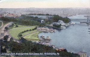
Fairmount Park, bird’s eye view from Lemon Hill, detail
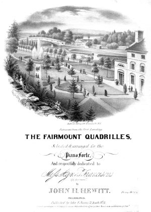
The Fairmount Quadrilles, 1836
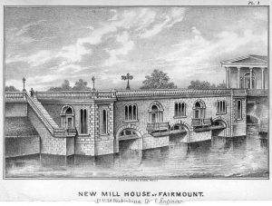
New Mill House at Fairmount
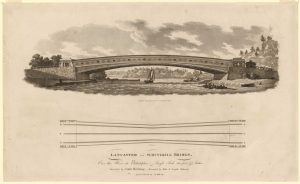
Lancaster/Schuylkill Bridge (Upper Ferry Bridge)
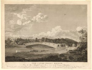
Upper Ferry Bridge, 1820