Andorra Run aka Wise’s Mill Run
A sequence of maps showing how this small watershed in Northwest Philadelphia changed over time.
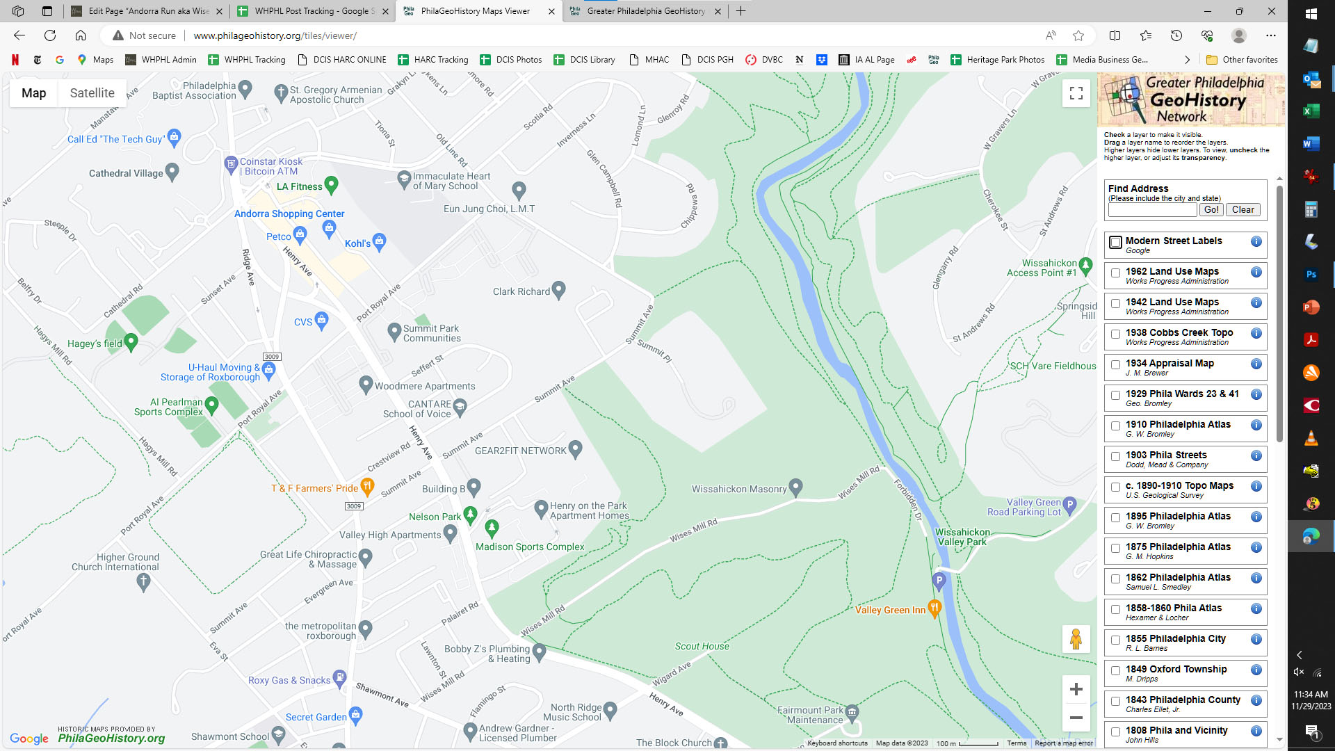
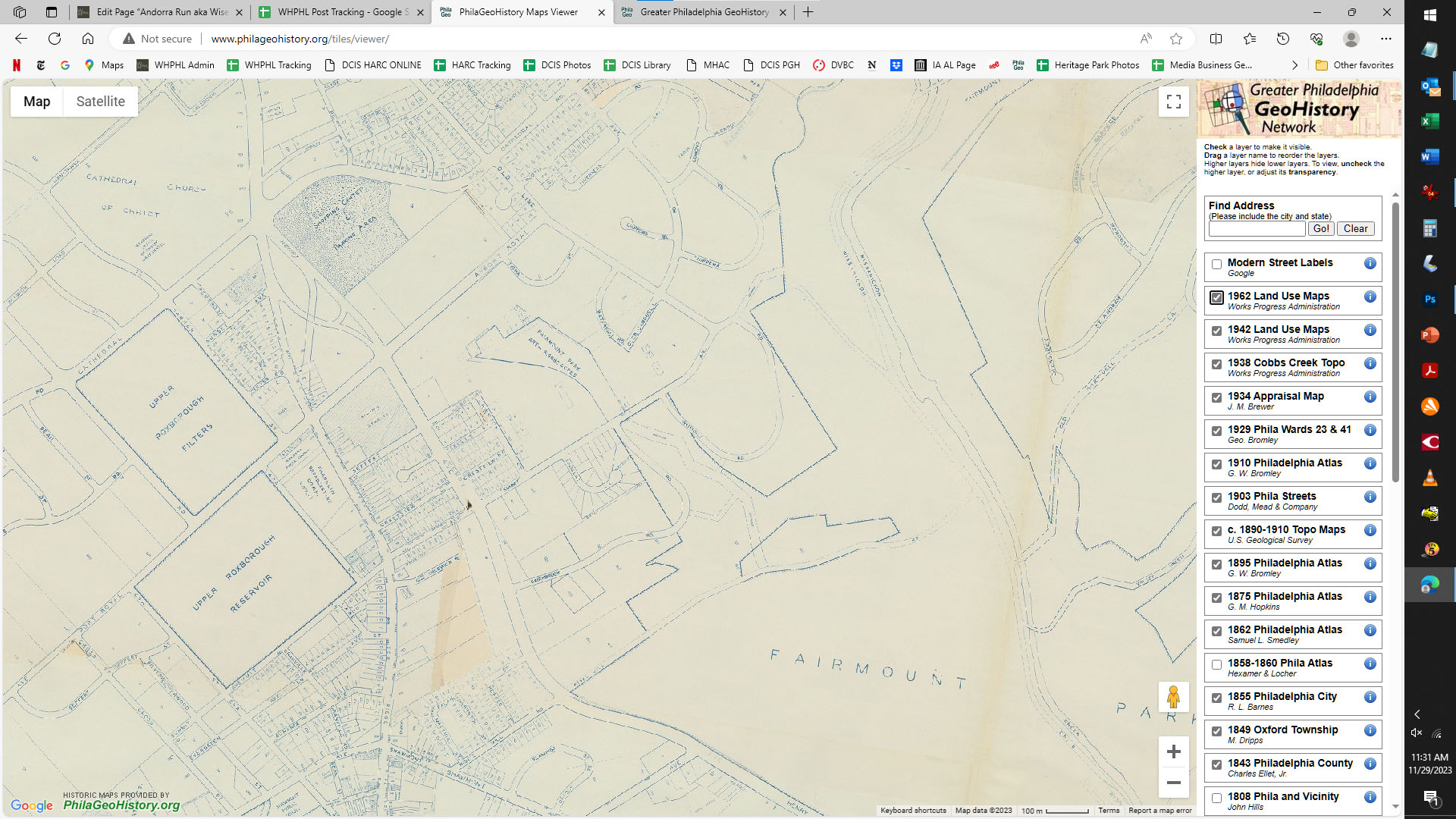
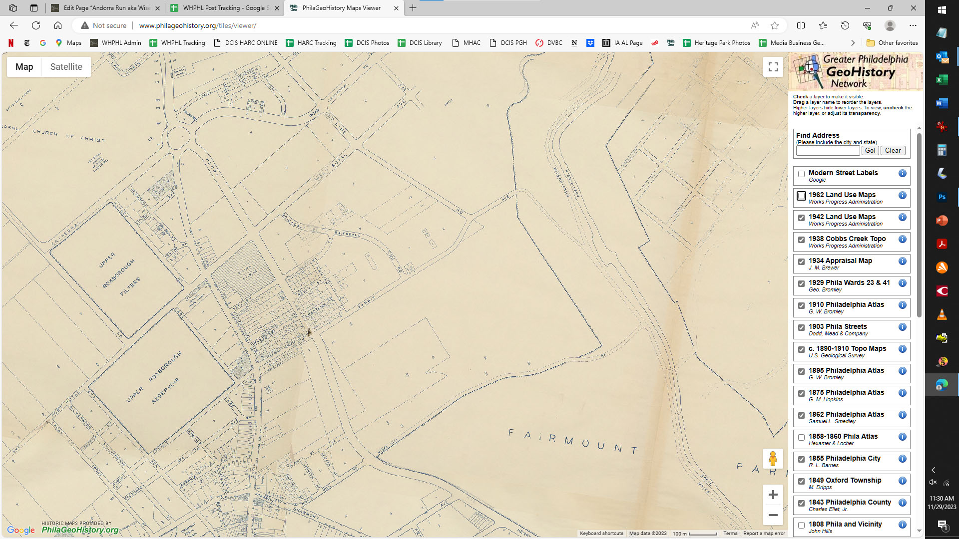
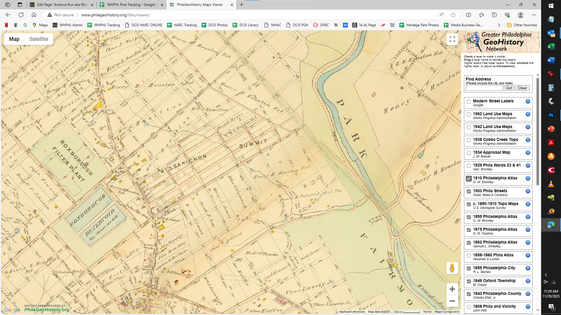
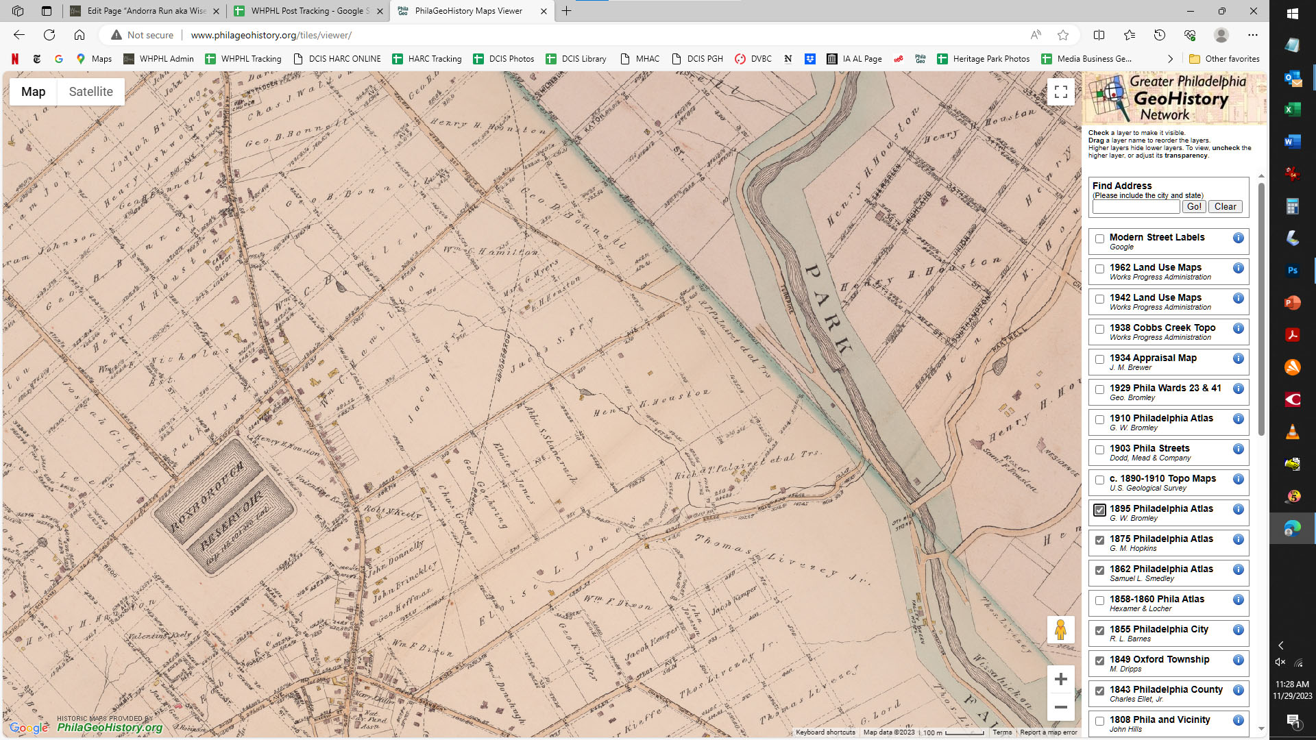
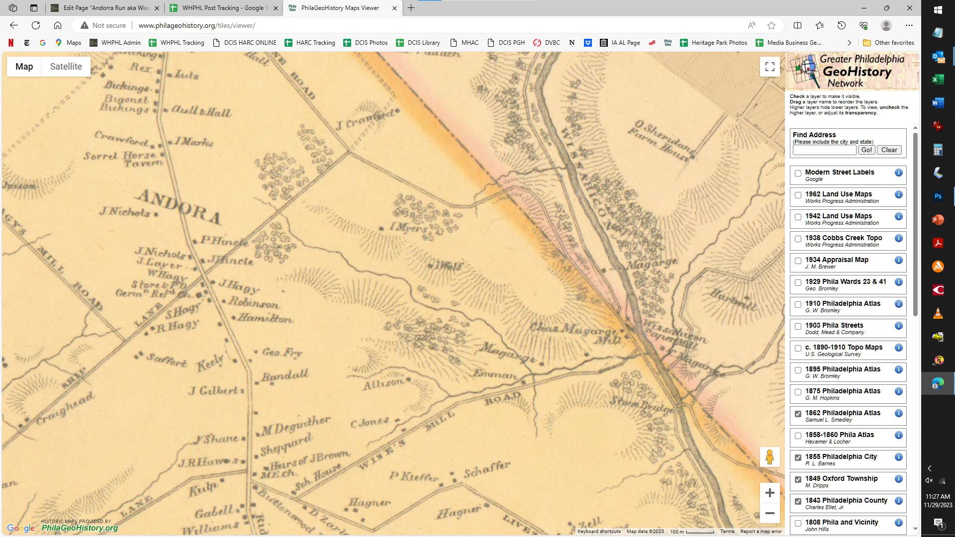
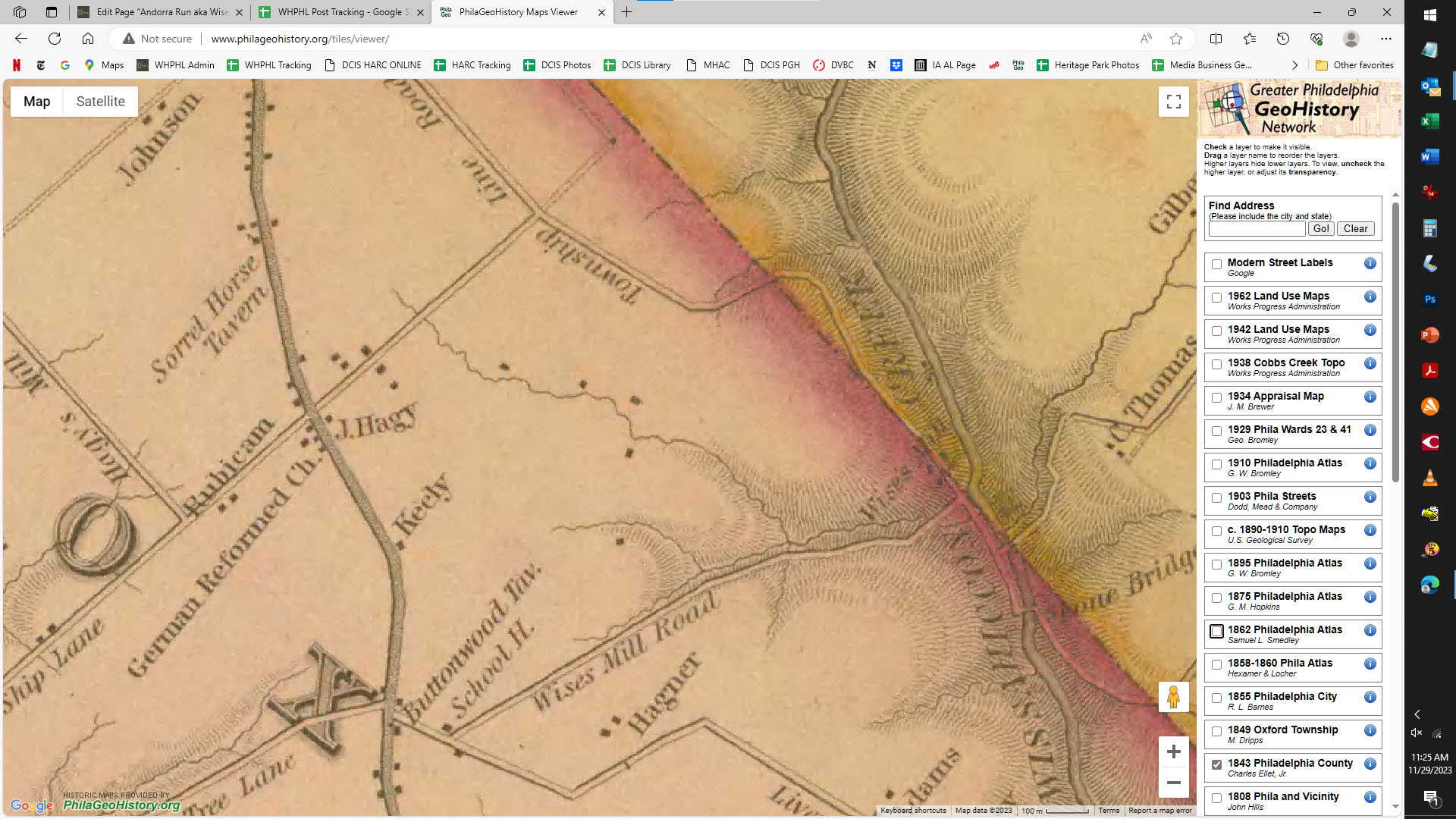
This time-lapse was created using the interactive maps viewer of the Greater Philadelphia Geohistory Network, a project of The Athenaeum of Philadelphia. These sequences are very easy to make, using screenshots. I purposely did NOT crop these images to show how simple this is to do. Zoom in to the part of the city you want to see close-up, then start clicking boxes in the list of maps on the right to turn that layer on and off. Do a screen capture with each layer, then view them in order to see how one little corner of the world has changed.